

-
Products -PCBA Manufacturing RF Connectors RF Cable Assemblys Embedded Antennas External Antennas Positioning Chips and Modules
RF Connectors

RF Cable Assemblys
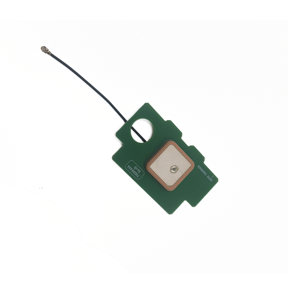
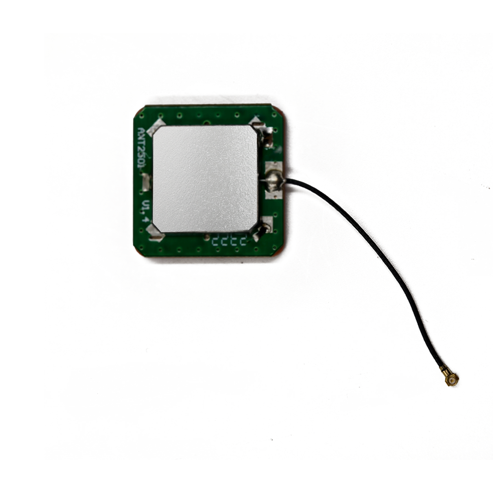
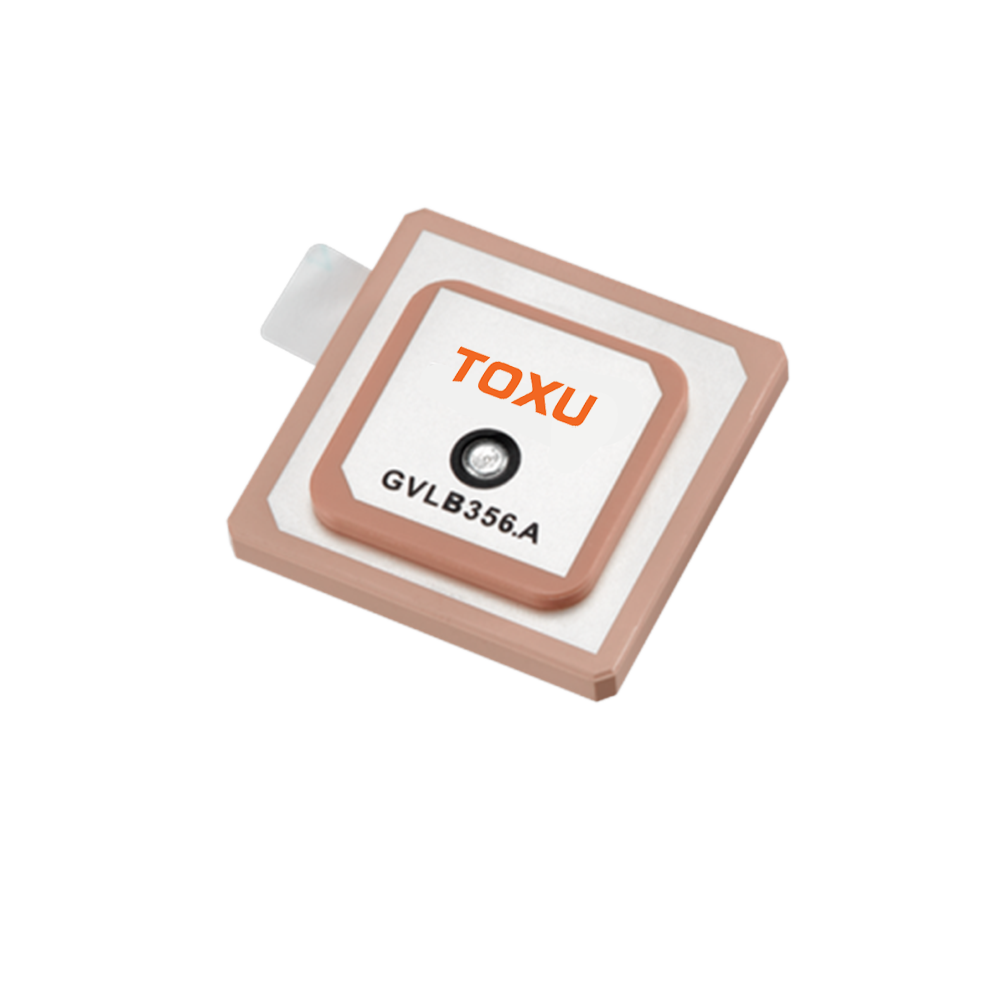
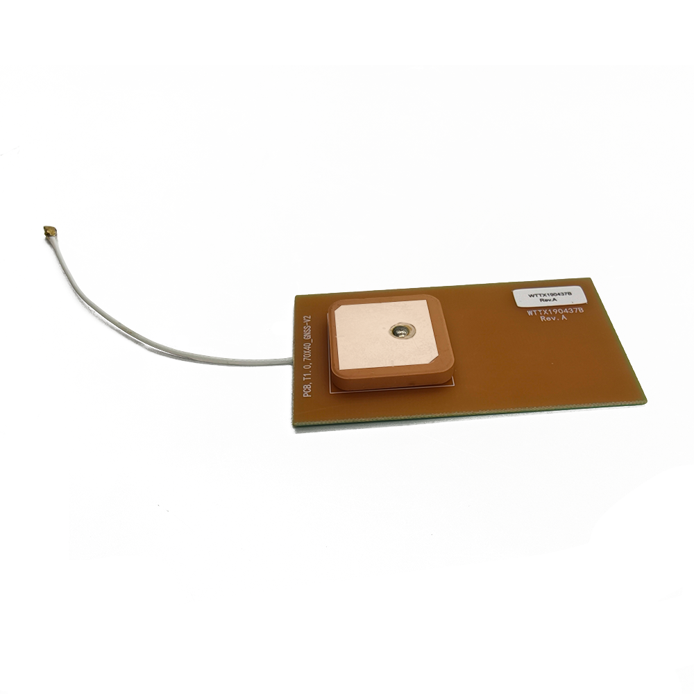
Embedded Antennas
External Antennas
Positioning Chips and Modules


 Language


Language


The science and practice of mapping have been utterly transformed by the advent of high-precision Global Navigation Satellite Systems (GNSS). Gone are the days of relying solely on theodolites and painstaking ground measurements for creating accurate maps. Today, high-resolution topographic surveys, GIS data collection, and photogrammetric mapping are achieved with breathtaking speed and centimeter-level accuracy, often in real-time. At the absolute core of this revolution lies a critical, yet often overlooked, component: the precision built-in GNSS Real-Time Kinematic (RTK) antenna.
This antenna is not a mere accessory; it is the fundamental sensor that defines the performance ceiling of any mapping system. Whether integrated into a ruggedized handheld data collector, a compact UAV (Unmanned Aerial Vehicle) mapping drone, a mobile mapping system on a vehicle, or a robotic total station, this antenna's primary role is to act as a stable, ultra-precise electromagnetic reference point. Its task is to capture the faint, microwave signals from multiple satellite constellations (GPS, GLONASS, Galileo, BeiDou) with exceptional fidelity, ensuring that the carrier-phase measurements—the basis for RTK and PPK (Post-Processed Kinematic) accuracy—are devoid of inherent errors introduced by the antenna itself.
The term "built-in" is crucial and denotes a significant evolution. Historically, high-precision mapping was the exclusive domain of surveyors using specialized equipment featuring large, external antennas, often mounted on poles and connected via cables to a separate receiver. These antennas, sometimes coupled with ground planes or choke rings, were designed for maximum performance with little regard for size or integration. The modern "built-in" antenna represents a paradigm shift: it encapsulates this geodetic-grade performance within a form factor designed for seamless integration into a portable, mobile, or autonomous mapping platform. It sacrifices nothing in performance but everything in size, making professional-grade accuracy accessible and practical for a much wider range of applications.
The defining characteristic of a precision mapping antenna is its unwavering phase center stability. In RTK processing, position is derived by measuring the phase of the carrier wave from the satellites. The antenna's phase center is the hypothetical point in space where these signals are received. Any movement of this phase center—due to changes in the angle of the incoming signal (azimuth and elevation), frequency, or environmental conditions like temperature—directly translates into a positional error. A high-precision antenna is meticulously designed to have a phase center that is not only precisely known but also minimally variable. This stability is so critical that each antenna model undergoes rigorous anechoic chamber calibration to create a unique Phase Center Variation (PCV) model, which is then applied in the processing software to correct the raw measurements.
Furthermore, these antennas are engineered for resilience against the primary enemy of high-precision GNSS: multipath interference. Multipath occurs when a satellite signal arrives at the antenna not directly, but after reflecting off the ground, buildings, or other surfaces. These reflected signals are delayed and can distort the phase measurements. Precision antennas combat this through sophisticated design: employing carefully sized ground planes to reject low-angle signals, achieving exceptional Right-Hand Circular Polarization (RHCP) purity to reject reversed-polarization reflected waves, and sometimes integrating advanced materials that act as inherent multipath suppressors.
In summary, the precision built-in GNSS RTK antenna for mapping is a highly specialized instrument. It is the result of advanced materials science, electromagnetic engineering, and precision manufacturing, all focused on a single goal: to provide the most stable and accurate electronic reference point possible. It is the unsung hero that allows a drone to precisely geotag a photograph, a vehicle to map a road network, or a surveyor to pinpoint a property boundary with confidence, forming the indispensable foundation upon which all modern digital mapping is built.
The design and construction of a precision built-in GNSS RTK antenna for mapping is an exercise in achieving electromagnetic perfection under stringent physical constraints. Every material, layer, and dimension is optimized to maximize phase stability, multipath rejection, and bandwidth, while being packaged for integration into a host device.
1. The Radiating Element: Advanced Ceramic Stack
Multi-Layer, Multi-Band Design: To support RTK across all major GNSS bands (L1, L2, L5, etc.), a single patch is insufficient. Precision antennas use a stacked ceramic design. Two or more ceramic substrates with different dielectric constants are layered. A smaller, high-εr patch is stacked on top of a larger, lower-εr patch. This creates multiple coupled resonant cavities, each tuned to a specific frequency band (e.g., L1 on the top patch, L2/L5 on the lower patch), enabling wideband performance from a single feed point.
Premium Ceramic Materials: The ceramics used are of exceptionally high quality, with ultra-low loss tangents (tan δ < 0.002) to maximize radiation efficiency and precise control over dielectric constant (εr). Their thermal properties are engineered for stability, ensuring the resonant frequency and phase center do not drift with changes in ambient temperature.
Precision-Fabricated Patch: The radiating element is typically a deposited silver or copper layer, often photolithographically etched for microscopic precision. The shape may include specific perturbations (e.g., truncated corners, slots) to fine-tune the excitation of orthogonal modes for achieving near-perfect Circular Polarization.
2. The Feed System: Precision Excitation
Aperture-Coupled Feed (Advanced Design): While probe feeds are common in consumer antennas, high-precision mapping antennas often use a more sophisticated aperture-coupled feed. In this design, the radiating patch is on the top layer. It is electromagnetically coupled through a precisely etched slot in a middle ground plane to a microstrip feed line located on a separate substrate layer below. This design offers superior isolation between the feed network and the radiator, provides wider bandwidth, and allows for independent optimization of the radiation and feeding structures, which is critical for phase stability.
Single Feed Point: A key feature is the use of a single feed point to excite all frequency bands. This is far more complex to design than a multi-feed approach but eliminates the need for an external power divider or hybrid coupler, reducing potential sources of phase error and simplifying the internal construction.
3. The Ground Plane: Foundation of Performance
The integrated ground plane is arguably as important as the radiator itself for a built-in mapping antenna.
Size and Structure: Unlike a simple PCB pour, the ground plane is a dedicated, continuous layer of metal within the antenna assembly itself. Its size is carefully calculated to optimize the antenna's gain pattern. A sufficiently large ground plane creates a sharper pattern roll-off at low elevations, effectively rejecting multipath signals arriving from near the horizon.
Choke Ring Integration (in Premium Models): The most advanced built-in antennas incorporate the principles of a choke ring directly into their design. Instead of bulky external rings, they may use a Artificial Magnetic Conductor (AMC) or Electromagnetic Bandgap (EBG) structure—a patterned metallic surface on the PCB around the antenna—that mimics the multipath-suppressing behavior of a physical choke ring by creating a high-impedance surface that rejects surface waves.
4. Low-Noise Amplifier (LNA) and Filtering
Integrated, High-Performance LNA: A built-in, ultra-low-noise amplifier is absolutely mandatory. It is positioned immediately after the antenna feed point to boost the extremely weak satellite signals (as low as -130 dBm) before any cable loss can occur. This is vital for maintaining a low system noise figure, which directly impacts tracking sensitivity and performance in obstructed environments.
Bandpass Filtering: The LNA stage is followed by a sophisticated bandpass filter that allows only the desired GNSS frequencies (e.g., 1164-1300 MHz and 1559-1610 MHz) to pass. This filter is critical for rejecting out-of-band interference from cellular, WiFi, and other radio services that are ubiquitous in modern mapping environments, preventing receiver desensitization.
5. Calibration and Characterization: The Final Step
A precision antenna is not finished after manufacturing; it must be meticulously calibrated. Each antenna model is characterized in a anechoic chamber to measure its:
Gain Pattern: Radiation pattern across all angles (azimuth and elevation).
Axial Ratio: A measure of its circular polarization purity across the sky.
Phase Center Variation (PCV): The most critical test. A 3D map is created showing how the antenna's phase center moves for different frequencies and different angles of signal arrival.
This PCV data is formatted into an ANTEX (ANTenna EXchange) file. This file is loaded into the mapping device's firmware or post-processing software, which applies corrections to the raw carrier-phase measurements, effectively compensating for the antenna's inherent imperfections and stabilizing its electrical reference point.
6. Housing and Integration
The entire assembly is housed in a robust, environmentally sealed enclosure. The radome material is selected for exceptional RF transparency and durability to withstand UV exposure, impacts, and extreme temperatures. The unit features a standardized mounting interface with a precisely defined Antenna Reference Point (ARP), ensuring that the corrected phase measurements are accurately related to a physical point on the device.
The operation of a precision GNSS RTK antenna is a symphony of electromagnetic principles, all orchestrated to measure the phase of a radio wave with sub-millimeter precision.
The Core Function: Phase-Stable Reception
The fundamental principle behind RTK is carrier-phase measurement. While a standard GPS receiver uses the C/A code to calculate position with meter-level accuracy, an RTK system measures the phase of the underlying L1 and L2 carrier waves themselves. The wavelength of these carriers is much shorter (19 cm for L1, 24 cm for L2), allowing for potentially millimeter-level precision. However, the initial number of whole wavelengths between the satellite and receiver—the "integer ambiguity"—is unknown.
The antenna's sole purpose is to deliver a clean, unperturbed carrier wave signal to the receiver so it can accurately track this phase. Any distortion, delay, or shift introduced by the antenna corrupts this measurement. The antenna's design mitigates several key error sources:
1. Mitigating Multipath via Pattern Shaping:
Multipath signals arrive from directions other than the direct line-of-sight to the satellite, typically from low elevation angles after reflecting off the ground. The antenna's radiation pattern is intentionally designed with low gain at these low angles (below 10-15 degrees). The integrated ground plane is key here; it acts as a mirror, creating a pattern null at the horizon. This means the antenna is "deaf" to these reflected, error-inducing signals.
2. Mitigating Multipath via Polarization Purity:
Direct satellite signals are Right-Hand Circularly Polarized (RHCP). When a signal reflects off a surface, its polarization often reverses, becoming predominantly Left-Hand Circularly Polarized (LHCP). A high-precision antenna is engineered to have a very low axial ratio (a measure of how perfectly circular the polarization is) at high elevation angles. This means it is highly sensitive to the desired RHCP signals but rejects much of the LHCP multipath energy.
3. Ensuring Phase Center Stability:
The antenna's most critical job. The "phase center" is the virtual point where the incoming wave is received. In a perfect antenna, this point would be fixed and coincident with a physical mark. In a real antenna, it moves slightly depending on the elevation and azimuth of the incoming signal. This movement, called Phase Center Variation (PCV), is a direct source of error.
How it works: If the phase center moves 2 mm between when a signal from a satellite at 45° elevation is measured and when a signal from a satellite at 80° elevation is measured, the receiver will miscalculate the ranges by 2 mm, introducing error into the position solution.
The Design Solution: The stacked-patch, aperture-coupled feed, and symmetric construction are all designed to minimize this movement. The PCV calibration map then characterizes the remaining, unavoidable variation so the processor can correct for it.
4. Wideband Operation for Multi-Frequency RTK:
Modern RTK uses multiple frequencies (L1, L2, L5) to quickly and reliably resolve the integer ambiguities and to correct for ionospheric delay. The antenna must receive all these frequencies with consistent performance. The stacked ceramic design creates multiple resonances, allowing it to operate efficiently across a wide bandwidth (from ~1160 MHz to 1610 MHz) without significant group delay variations that could distort the measurements.
In essence, the antenna doesn't just "receive GPS signals"; it acts as a highly selective, stable, and calibrated filter. It filters out noise and multipath, while preserving the pristine geometry of the carrier wave's phase, providing the receiver with the highest-quality raw data possible from which to compute a centimeter-accurate position.
Advantages of a Precision Built-In Design:
Guaranteed, Calibrated Performance: The primary advantage. The OEM (Original Equipment Manufacturer) integrates a component with known, characterized, and corrected performance. The phase center is stable and its offsets are defined, removing a major variable from the system error budget.
Optimized System Integration: The antenna is designed as part of the device from the start. This eliminates cable losses, connector variability, and the risk of user error (e.g., using the wrong antenna). It results in a more reliable, robust, and professionally finished product.
Compact and Rugged Form Factor: Essential for mapping drones and handheld devices where size, weight, and aerodynamic profile are critical. The sealed unit is protected from the elements—rain, dust, shocks—that are commonplace in field mapping work.
Improved Multipath Rejection: The ability to design the ground plane and potentially integrate AMC structures specifically for the device's form factor can lead to better inherent multipath rejection than a generic external antenna with a suboptimal ground plane.
Simplified User Experience: The end-user (e.g., a surveyor or drone pilot) does not need to worry about antenna selection, cabling, or calibration. They simply use the device, and the high performance is inherent.
Challenges and Limitations:
Extreme Design Complexity and Cost: The engineering required to design, model, and calibrate such an antenna is immense. The materials (high-purity ceramics, specialized laminates) and processes (multilayer bonding, anechoic chamber testing) are expensive. This makes the antennas themselves high-cost components.
Thermal Management: The integrated LNA generates heat. In a sealed, built-in environment, managing this heat is crucial, as temperature fluctuations can affect the LNA's gain and noise figure and can cause thermal expansion in the ceramics, potentially introducing small phase drifts.
Performance Compromise vs. Larger Geodetic Antennas: While exceptional, a built-in antenna's performance has limits. It cannot fully replicate the near-perfect multipath rejection of a large, survey-grade antenna with a full-sized choke ring. For the most demanding scientific or geodetic applications, larger external antennas are still preferred.
Dependency on Host Device Design: Although built-in, the antenna's performance can still be affected by the overall device. A host PCB crammed with noisy digital circuits or a housing with metal components too close to the antenna can degrade performance through interference or detuning.
Fixed Configuration: The integrator is locked into the antenna's predefined performance characteristics. They cannot later upgrade to a different antenna without a complete device redesign.
Applications:
UAV-based Photogrammetry and LiDAR: Provides the precise base location for aerial imagery and point clouds, enabling centimeter-accurate 3D model creation.
Mobile Mapping Systems (MMS): Integrated into vehicles and backpacks equipped with lasers and cameras to rapidly map roads, railways, and urban environments.
Precision Agriculture: Guides autonomous tractors for planting and spraying and is used on drones for creating precise elevation models and crop health maps.
Survey-Grade Data Collectors: Built into rugged handheld devices used by surveyors for GIS data collection, boundary surveying, and construction stakeout.
Machine Control and Guidance: Provides the position for autonomous bulldozers, graders, and excavators on construction sites.
Future Trends:
Full-System on Module (SoM): The trend is towards complete "GNSS Engine" modules that integrate the antenna, a multi-band RTK receiver, an IMU (Inertial Measurement Unit), and a embedded processor running RTK algorithms into a single, sealed unit. This further reduces integration complexity.
Tighter IMU Integration for PPP-RTK: Deep sensor fusion between the GNSS antenna and a tactical-grade IMU will be key for enabling Precise Point Positioning (PPP) techniques, allowing for centimeter accuracy without a local base station by using correction services from satellite networks.
AI-Enhanced Multipath Mitigation: On-board processing using machine learning algorithms to identify and filter out multipath signals in the digital domain, working in tandem with the antenna's hardware-based rejection.
Advanced Materials: Development of new metamaterials and ceramic composites with even better electromagnetic and thermal properties to push the limits of miniaturization and performance.
Resilience to Interference and Spoofing: Built-in capabilities to detect and mitigate intentional jamming and spoofing attacks, which are becoming a growing concern for critical infrastructure mapping.
Conclusion
The precision built-in GNSS RTK antenna for mapping is a technological marvel that sits at the intersection of advanced materials science, electromagnetic theory, and precision engineering. It is the enabling technology that has democratized centimeter-accurate positioning, moving it from the realm of specialized surveyors into the hands of engineers, farmers, and drone pilots.
By solving the profound challenges of miniaturizing geodetic-grade performance into a robust, integrated package, it has become the silent, stable foundation upon which the entire modern digital mapping ecosystem is built. It transforms a device from a mere data logger into a trusted source of ground truth. As the demand for precise spatial data continues to explode across industries, the evolution of this critical component will continue to push the boundaries of what is possible, further blurring the lines between the physical world and its digital twin. It is, without exaggeration, the calibrated eye that allows machines to see their place in the world with unparalleled clarity.

 86 0755 2819 9597
Lucy Yang | lucy.y@toxutech.com
Nicole Li | nicole@toxutech.com
Dotty Zhao | sales04@toxutech.com
Global Business Director / Sales Team / Global Operations


 En
En Cn
Cn Korean
 Home >


