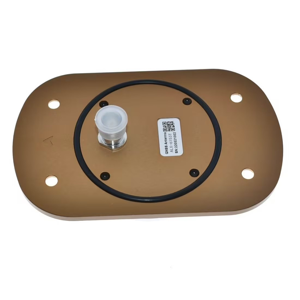
The aviation sector demands stringent reliability, environmental durability, and regulatory compliance, driving innovations in antenna design. For instance, the Columbus HAK-1 Tri-Band Helical Antenna Kit supports L1/L2/L5 bands with IP67 waterproofing, while the GeoAstra ANT609 integrates multi-feed points for enhanced multipath rejection. These antennas are paired with high-channel-count RTK receivers (e.g., 965-channel GM PRO L) to maximize satellite visibility and reduce ambiguity resolution time, even in challenging environments like urban canyons or mountainous terrain.
The global market for aviation GNSS antennas is projected to grow at a CAGR of 8.5% through 2030, fueled by the adoption of Performance-Based Navigation (PBN) and the transition to satellite-based augmentation systems (SBAS). This overview explores the technological foundations, design principles, and emerging applications of multi-frequency RTK aviation GPS antennas, highlighting their transformative potential in enhancing flight safety and operational efficiency.
2.1 Antenna Architecture
Multi-frequency RTK aviation antennas employ advanced designs to balance compactness, gain, and environmental resilience:
Helical Antennas: Preferred for their omnidirectional radiation patterns and robustness against vibrations. For example, the Columbus HAK-1 uses a tri-band helical structure with a ceramic substrate for thermal stability, ensuring consistent performance across -40°C to +85°C.
Patch Antennas: Used in compact installations where space is limited, such as UAVs. These antennas leverage multi-layer dielectric materials to achieve dual-band (L1/L2) operation with low axial ratios (<2 dB), minimizing polarization errors.
Multi-Feed Point Design: Antennas like the GeoAstra ANT609 incorporate multiple feed points to isolate signals from different frequency bands, reducing intermodulation distortion and improving multipath rejection by up to 15 dB.
2.2 Integration with RTK Receivers
Modern aviation RTK modules integrate antennas with high-channel-count receivers and correction engines:
Receiver Channels: The GM PRO L supports 965 channels, enabling simultaneous tracking of GPS, GLONASS, Galileo, and BeiDou signals. This redundancy ensures continuous operation even if some satellites are obscured.
RTK Engine: Processes carrier-phase measurements at 20 Hz or higher, applying RTCM 3.X corrections to resolve integer ambiguities in <10 seconds under open-sky conditions.
Tilt Compensation: Advanced receivers like the ZED-F9P use inertial measurement units (IMUs) to adjust for aircraft pitch/roll, maintaining accuracy during non-level installations.
2.3 Environmental and Regulatory Compliance
Aviation antennas must meet rigorous standards:
DO-160G: Certifies resistance to vibration, shock, and electromagnetic interference (EMI).
IP67/IP68: Waterproof and dustproof enclosures protect against jet fuel, hydraulic fluids, and extreme weather.
RTCA DO-229E: Ensures compatibility with SBAS and ground-based augmentation systems (GBAS).
For example, the Harxon RTK Smart Antenna for UAVs features a ruggedized aluminum housing and conformal coating to prevent corrosion in marine environments.
3.1 RTK Correction Mechanism
RTK achieves centimeter-level accuracy by resolving carrier-phase ambiguities in real time:
Base Station Setup: A fixed ground station transmits raw GNSS measurements (carrier phase, pseudorange) to the aircraft via radio (UHF/VHF) or cellular (NTRIP).
Double Differencing: The aircraft’s RTK receiver subtracts its measurements from the base station’s to eliminate clock errors, ionospheric delays, and tropospheric effects.
Ambiguity Resolution: The receiver uses least-squares adjustment to constrain ambiguities to integer values, typically achieving a "FIX" solution within 5–20 seconds.
3.2 Multi-Frequency Advantages
Ionospheric Correction: Dual-frequency (L1/L2) or triple-frequency (L1/L2/L5) measurements enable direct computation of ionospheric delays, reducing vertical errors by up to 50%.
Multipath Mitigation: Higher frequencies (e.g., L5 at 1176.45 MHz) have narrower bandwidths, making it easier to filter reflected signals from buildings or terrain.
Faster Convergence: Multi-frequency receivers effectively "see" 1.5× more satellites than single-frequency systems, accelerating ambiguity resolution by 30–50%.
3.3 PPP-RTK Hybridization
Some antennas support Precise Point Positioning (PPP) combined with RTK (PPP-RTK), which uses state-space corrections for satellite clocks, orbits, and ionospheric parameters. This extends RTK accuracy to global scales but requires longer convergence times (5–10 minutes) compared to local RTK.
-
5.1 Current Applications
Precision Landing: RTK-guided approaches enable Category III autolands with decision heights <50 feet.
UAV Navigation: Agricultural drones use RTK for variable-rate spraying, while delivery drones rely on it for final-mile accuracy.
Air Traffic Management: ADS-B systems integrated with RTK enhance surveillance in non-radar airspace.
Surveying: Aircraft-mounted RTK antennas map terrain with 2 cm horizontal accuracy for infrastructure planning.
5.2 Future Trends
AI-Driven RTK: Machine learning will optimize ambiguity resolution and error modeling, reducing convergence times to <3 seconds.
5G Integration: Low-latency 5G networks will enable real-time NTRIP corrections without local base stations.
Quantum GNSS: Emerging quantum sensors promise sub-millimeter accuracy by exploiting entangled photons for noise-resistant measurements.
Mass-Market Adoption: Predicted 20% CAGR in aviation RTK modules through 2030 will drive innovations in low-cost, high-volume manufacturing.
Conclusion
Multi-frequency RTK aviation GPS antennas are revolutionizing flight safety and operational efficiency by delivering centimeter-level positioning in real time. Their integration of advanced antenna designs, multi-constellation support, and RTK correction engines addresses the aviation sector’s demand for reliability, precision, and environmental resilience. While challenges like base station dependency and certification costs persist, trends such as AI-driven RTK, 5G integration, and quantum sensing promise to overcome these barriers, unlocking new applications in urban air mobility, autonomous cargo drones, and next-generation air traffic management.
As the market for aviation GNSS antennas grows, manufacturers must prioritize cost reduction, miniaturization, and interoperability to ensure these technologies reach their full potential. The future of aviation navigation lies in the seamless fusion of multi-frequency RTK with emerging technologies, ushering in an era of ultra-precise, fully autonomous flight.


 Language
 En
En Cn
Cn Korean

 Home >


 18665803017 (Macro)


