

-
Products -PCBA Manufacturing RF Connectors RF Cable Assemblys Embedded Antennas External Antennas Positioning Chips and Modules
RF Connectors

RF Cable Assemblys
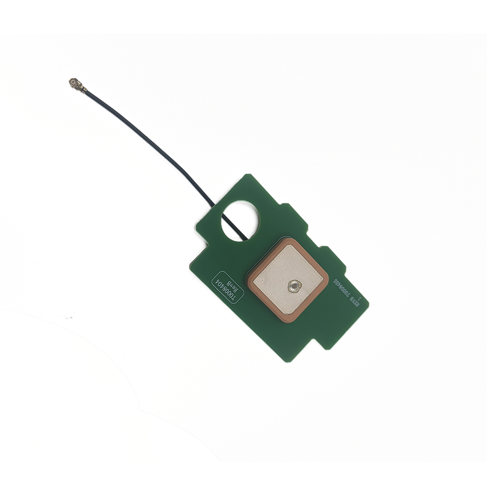
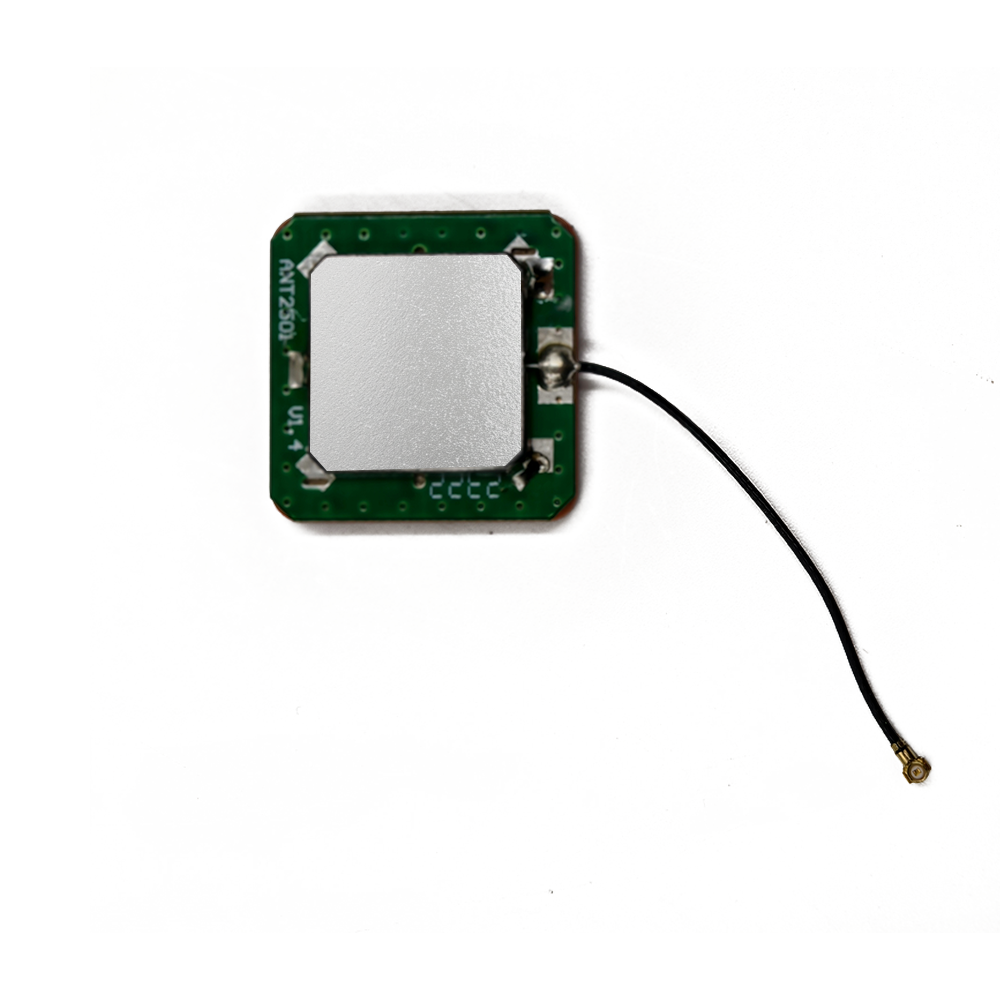
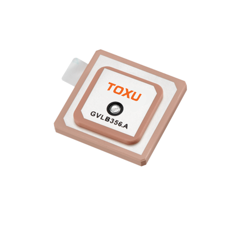
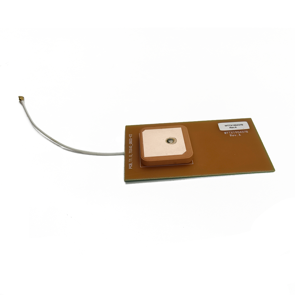
Embedded Antennas
External Antennas
Positioning Chips and Modules


 Language


Language


In the demanding world of geomatics, construction, and precision agriculture, the difference between success and costly error is often measured in centimeters. This relentless pursuit of accuracy has been fundamentally enabled by Real-Time Kinematic (RTK) technology, a satellite navigation technique that provides real-time positioning corrections to achieve centimeter-level precision. At the very heart of any high-performance RTK system lies its most critical and defining component: the GNSS antenna. Unlike consumer-grade counterparts, a built-in GNSS RTK antenna for surveying equipment is not a simple receiver of signals; it is a high-precision measurement instrument, engineered to uphold the integrity of the carrier-phase data upon which all RTK accuracy depends.
The term "built-in" signifies a paradigm shift in surveying technology. It refers to the seamless integration of the GNSS antenna into the housing of the surveying rover or base station, creating a single, unified, and robust instrument. This contrasts with traditional setups where an external antenna is connected via a cable to a separate receiver. This integration is far more than a matter of convenience; it is a holistic design philosophy that optimizes the entire signal chain from the wavefront to the processor, ensuring maximum performance, reliability, and ease of use in the field. "GNSS" (Global Navigation Satellite System) underscores its capability to receive signals from all available constellations—GPS (USA), GLONASS (Russia), Galileo (EU), and BeiDou (China)—across multiple frequency bands (L1, L2, L5, E1, E5a/b, B1, B2, etc.). This multi-constellation, multi-frequency capability is crucial for achieving the high availability, robustness, and rapid initialization times required for professional surveying.
The primary function of this antenna transcends basic signal capture. Its paramount role is to act as a stable and unchanging reference point for carrier-phase measurements. The core of RTK positioning involves resolving the integer ambiguity in the number of carrier wavelengths between the satellite and the receiver. Any imperfection in the antenna's characteristics that introduces a phase shift—such as a non-uniform radiation pattern, susceptibility to multipath, or instability with signal direction—directly translates into a measurable error in the calculated position. Therefore, the antenna's design is obsessed with phase center stability, a metric that defines how consistently the electrical phase center of the antenna remains fixed regardless of the elevation, azimuth, or frequency of the incoming satellite signal.
The evolution of the built-in RTK antenna represents a triumph of electromagnetic engineering over physical constraints. The gold standard for high-precision phase measurement has long been the geodetic-grade choke-ring antenna. While exceptionally effective at mitigating multipath, its large size, weight, and cost made it impractical for field rovers. The development of the built-in ceramic patch antenna aimed to distill the essential performance characteristics of a choke ring—specifically, multipath rejection and phase center stability—into a compact, low-profile form factor that could be integrated into a portable pole-mounted device. This miniaturization, without a catastrophic sacrifice in performance, is what unlocked the modern era of efficient, highly mobile surveying.
A modern built-in GNSS RTK antenna is a system within a system. It typically incorporates a precision ceramic radiating element, a sophisticated ground plane structure, an ultra-low-noise amplifier (LNA), and advanced filtering, all housed within a ruggedized environmental shell. Furthermore, each individual antenna model is meticulously calibrated. Using robotic systems in anechoic chambers, its phase center variations (PCV) are measured across all angles and frequencies, generating a unique calibration model that is applied within the receiver's firmware to correct measurements in real-time.
In summary, the built-in GNSS RTK antenna is the cornerstone of modern high-precision positioning. It is the critical first link in a chain of measurement, transforming analog electromagnetic waves into digital data of the highest fidelity. Its design represents a complex compromise between the laws of physics and the practicalities of field use, resulting in an instrument that empowers surveyors to achieve unparalleled levels of accuracy, reliability, and efficiency, thereby forming the foundation for the data-driven construction and management of our physical world.
The design and construction of a built-in GNSS RTK antenna is a meticulous process that blends advanced materials science, electromagnetic theory, and precision manufacturing. Every aspect is optimized not for mere signal reception, but for the preservation of phase purity and the mitigation of error, transforming it from a component into a calibrated sensor.
The Radiating Element: Engineered Ceramic and Precision Patch
The heart of the antenna is a high-purity ceramic substrate, often based on alumina or specialized proprietary blends. The dielectric constant (εr) is carefully selected—typically in a moderate range (e.g., 20-25)—to strike a balance between miniaturization and performance. A very high εr, while enabling a smaller size, often comes with increased loss tangent and narrower bandwidth, which are detrimental to multi-frequency performance. The radiating patch itself is photolithographically etched onto this substrate with extreme precision. Its geometry is highly complex:
Multi-Band Design: To resonate across multiple frequency bands (e.g., GPS L1, L2, and L5), a single patch is engineered with slots, grooves, or other intricate perturbations. These features create multiple resonant paths within a single element. The most common high-performance approach is the stacked patch, where a second, slightly larger patch is positioned above the primary one, separated by a second dielectric layer. Each patch is tuned to a different primary band (e.g., the lower for L2/L5, the upper for L1), providing excellent isolation and performance across a wide spectrum.
Feeding for Polarization Purity: Achieving perfect Right-Hand Circular Polarization (RHCP) is critical. While simple patches can use a single feed with asymmetric geometry (e.g., truncated corners), professional RTK antennas almost universally employ a dual-feed system. The patch is excited at two orthogonal points. An internal or external 90° hybrid coupler then ensures the signals at these points have a precise 90-degree phase difference, generating exceptionally pure circular polarization. This is vital for rejecting multipath, as reflected signals often become LHCP.
The Ground Plane and Multipath Mitigation Architecture
The ground plane is not merely a passive backplate; it is an active part of the antenna's performance. A large, solid ground plane helps shape the radiation pattern, providing higher gain towards the zenith (where satellites are strongest) and reducing gain towards the horizon (where multipath originates). The key innovation in built-in RTK antennas is the integration of multipath rejection technology directly into the antenna assembly. This often takes the form of a metallized choke-ring structure or a Frequency Selective Surface (FSS) moulded into the antenna's housing or PCB beneath the radiator.
These structures consist of concentric corrugations or a specific pattern of metallic elements that present a high surface impedance to signals arriving at low elevation angles—the primary angles of multipath reflections. These signals are effectively "choked" and rejected, while the antenna remains transparent to desired signals arriving from higher elevations. This built-in "mini-choke" provides a significant portion of the multipath rejection performance of a full-sized geodetic choke ring in a fraction of the size.
The Active Components: LNA and Filtering
An ultra-low-noise amplifier (LNA) is integrated directly at the antenna feed point. Its specifications are paramount:
Noise Figure (NF): Typically below 1 dB, ensuring almost no inherent noise is added to the already-weak satellite signals.
Gain: Usually between 25-30 dB, providing enough amplification to overcome downstream cable loss (though minimal in a built-in design) and the receiver's noise floor.
Linearity (IP3): Must be very high to withstand jamming from strong nearby transmitters (e.g., cellular radios in the same device) without going into compression, which would block all signals.
Advanced Surface Acoustic Wave (SAW) or Bulk Acoustic Wave (BAW) filters are placed before and after the LNA. Pre-LNA filtering protects the amplifier from out-of-band overload, while post-LNA filtering prevents amplified broadband noise from re-radiating and ensures only the GNSS spectrum is sent to the receiver.
Calibration: The Path to Absolute Accuracy
The most crucial post-manufacturing step is absolute phase center calibration. Each antenna model is placed on a robotic arm within an anechoic chamber. A reference signal is transmitted, and the antenna's phase response is measured with extreme precision from every possible angle of arrival (azimuth and elevation) and for every frequency. This data is used to create a calibration model—a table of Phase Center Offset (PCO) and Phase Center Variation (PCV) values. This model is loaded into the firmware of the paired RTK receiver, which applies real-time corrections to every raw measurement based on the specific satellite's position in the sky, effectively neutralizing the antenna's own inherent imperfections.
Construction and Housing
The entire assembly is built into a rugged, environmentally sealed housing (typically IP67 or higher) designed to withstand moisture, dust, shock, and UV exposure. The radome (outer cover) is made from a material that is virtually transparent to GNSS radio frequencies (e.g., polycarbonate or ABS with specific fillers) to avoid detuning the antenna or creating its own multipath. The result is a robust, self-contained measurement instrument ready for integration into a surveying pole, base station, or machine control system.
The working principle of a built-in GNSS RTK antenna is fundamentally concerned with the faithful preservation of the carrier phase of the incoming satellite signal. It is a guardian of measurement integrity, tasked with ensuring that the phase information delivered to the receiver is as pure and undistorted as possible, enabling the mathematical magic of centimeter-level positioning.
The Primacy of the Carrier Phase
While standard GPS navigation uses the pseudo-random code transmitted by the satellite to calculate distance (with meter-level accuracy), RTK uses the phase of the underlying carrier wave itself. The L1 carrier has a wavelength of approximately 19 cm. By measuring the phase of this carrier, the receiver can determine the range to the satellite with a precision of a small fraction of this wavelength—1-2%,
or about 2-3 millimeters. However, there is an initial unknown: the integer number of full wavelengths between the satellite and receiver, known as the integer ambiguity. Resolving this ambiguity is the core task of RTK processing.
The Antenna's Role as a Stable Reference
The antenna's primary job is to provide a stable electrical reference point from which all these phase measurements are made. This point is known as the Phase Center. In an ideal antenna, this point would be a fixed, geometric location that does not move. In reality, it varies with the direction (elevation and azimuth) of the incoming signal and its frequency. If uncorrected, this movement would be interpreted by the receiver as a change in the distance to the satellite, introducing error.
The sophisticated design of the RTK antenna—its symmetric patch, pure circular polarization, and controlled ground plane—works to minimize this variation. The robotic calibration process then characterizes the remaining variation, allowing the receiver to correct for it. This phase center stability is the single most important performance characteristic of a surveying antenna.
Multipath Rejection: Discarding the Deceivers
Multipath is a dominant source of error in precision GNSS. It occurs when a satellite's signal arrives at the antenna via two or more paths: one direct and others reflected from the ground, buildings, or other objects. The reflected signal travels a longer path and arrives slightly later, corrupting the phase measurement.
The built-in antenna combats multipath through three primary mechanisms:
Radiation Pattern Shaping: The antenna is designed to have high gain towards the zenith (where desired satellites are) and very low gain at and below the horizon (where most multipath originates). This pattern attenuates reflected signals before they are even amplified.
Polarization Filtering: Direct satellite signals are Right-Hand Circularly Polarized (RHCP). When these signals reflect off surfaces, their polarization often becomes elliptical or reverses to Left-Hand Circular Polarization (LHCP). The antenna's precisely engineered RHCP characteristic makes it inherently less sensitive to these reflected LHCP components, rejecting a significant portion of the multipath energy.
Choke-Ring / FSS Technology: The integrated ground plane structures (choke rings or FSS) create a high-impedance surface that further suppresses surface waves and signals arriving at shallow angles, which are typical of ground reflections.
The Multi-Constellation, Multi-Frequency Advantage
A modern RTK antenna receives all signals from all satellites across all bands. This provides powerful benefits:
More Satellites: Significantly improves satellite geometry (lower Dilution of Precision), leading to higher accuracy and, crucially, better availability in obstructed environments like urban canyons or under foliage.
Faster Ambiguity Resolution: Using multiple frequencies allows the receiver to form linear combinations of signals that have very long effective wavelengths (e.g., the wide-lane combination of L1 and L2 has an ~86 cm wavelength). Resolving the integer ambiguity on this "wide lane" is much faster and more reliable, enabling rapid initialization times.
Ionospheric Correction: The ionosphere delays signals, an error that is frequency-dependent. By measuring the delay on two different frequencies, the receiver can directly calculate and eliminate most of the ionospheric error, which is a major source of range error.
In essence, the antenna works by acting as a spatially and polarization-selective filter. It preferentially admits direct, line-of-sight, RHCP signals from satellites above the horizon while systematically suppressing noise, interference, and—most importantly—multipath signals. It provides the receiver with a clean, stable, and predictable stream of phase data, which is the essential raw material for resolving the integer ambiguities and generating a centimeter-accurate position solution.
The integration of a high-performance GNSS antenna directly into surveying equipment offers a compelling set of advantages that have revolutionized field workflows, but it also introduces specific engineering and practical challenges that must be meticulously managed.
Advantages:
Optimal System Performance and Simplicity: This is the foremost advantage. The antenna and receiver are designed and calibrated as a single, integrated system. This eliminates impedance mismatches, cable losses, and uncertainties associated with connecting external components. The receiver firmware is pre-loaded with the exact phase center calibration model for its specific antenna, ensuring the highest possible accuracy out of the box. For the user, it simplifies the system to a single device: power on the pole and start surveying.
Unmatched Ruggedness and Reliability: A built-in design eliminates the most common points of failure in a traditional GNSS system: the external antenna cable and its connectors. These are vulnerable to damage, moisture ingress, wear and tear, and connector loosening. By integrating the antenna, the entire system is housed in a single, environmentally sealed (IP67/IP68) unit that is highly resistant to water, dust, shock, and vibration, making it ideal for harsh field conditions.
Elimination of User Error: A built-in system removes the potential for Antenna Height Measurement Error (AHME). With an external antenna, the surveyor must manually measure the height from the survey point to the Antenna Reference Point (ARP) of the antenna. Any error in this measurement translates directly into a vertical error in all collected data. An integrated antenna on a pole has a fixed, known ARP height, eliminating this entire class of mistake and improving data consistency across crews.
Portability and Setup Speed: The convenience factor cannot be overstated. There is no separate antenna to assemble, no cable to connect, and no risk of forgetting a crucial component. This allows surveyors to be more mobile and productive, moving quickly between points and reducing setup time to an absolute minimum.
Effective Multipath Rejection in a Compact Form: While not quite matching the performance of a large geodetic choke ring, the integrated multipath mitigation techniques (e.g., embedded choke rings, FSS) provide a very high level of performance that far surpasses a simple patch antenna on a flat ground plane. This offers an excellent balance of portability and performance for most surveying applications.
Challenges and Limitations:
Performance Compromise vs. Geodetic Antennas: The laws of physics present a fundamental challenge. The most effective multipath rejection technology is a large-diameter choke ring antenna. Its size is directly related to its performance. A built-in antenna cannot physically accommodate a full-sized choke ring. Therefore, while its miniaturized techniques are impressive, its ultimate multipath rejection performance, especially for very low-elevation reflections, will not equal that of a large, survey-grade external geodetic antenna.
Thermal Drift and Calibration: The antenna's electrical properties, particularly the phase center, can shift slightly with changes in temperature. While high-quality designs mitigate this through stable materials and compensation circuits, it remains a source of potential error that must be characterized and managed. The system's accuracy is also permanently tied to its factory calibration; physical damage or aging could theoretically alter its characteristics, requiring a return to the manufacturer.
Limited Upgradeability and Flexibility: In a traditional setup, a surveyor can independently upgrade their antenna or receiver. An integrated system is a closed unit. If a significant technological advancement occurs in antenna technology, the entire unit must be replaced instead of just the antenna. It also prevents the use of the receiver with different antenna types for specialized applications.
Internal Electromagnetic Interference (EMI): Cramming a hypersensitive analog RF receiver (the antenna LNA) into the same housing as a powerful digital receiver creates a significant design challenge. The noise generated by digital circuits, processors, and oscillators can easily desensitize the GNSS front-end if not extremely well-shielded. This requires meticulous PCB layout, shielding cans, and filtering, adding cost and complexity.
Cost: The research, development, precision manufacturing, and calibration process for a high-end integrated RTK antenna is extensive. This makes the initial cost of an integrated rover or base station higher than an equivalent receiver designed for an external antenna. However, this cost is often justified by the gains in reliability, simplicity, and reduced total cost of ownership.
Dependence on Device Placement: While it eliminates the external cable, the antenna's performance is still tied to the device's placement. Placing the rover pole directly next to a large reflective surface (like a vehicle or building wall) will still induce multipath that the antenna may not be able to fully reject.
Built-in GNSS RTK antennas have become the workhorses of precision positioning, enabling a revolution in efficiency and capability across a wide range of industries that depend on centimeter-accurate data.
Applications:
Construction Surveying and Machine Control: This is a primary application. Surveyors use RTK rovers for precise stakeout, as-built verification, and topographic mapping. Furthermore, these antennas are integrated into the guidance systems of bulldozers, graders, and excavators for machine control, automatically guiding equipment to the designed grade with centimeter precision, drastically reducing rework and surveyor time on site.
Precision Agriculture: RTK guidance systems on tractors and harvesters enable automated steering with 2-3 cm accuracy. This allows for practices like straight-line planting, controlled traffic farming, and variable rate application (of seed, fertilizer, pesticide), which maximize yield and minimize input costs and soil compaction. The rugged, integrated design is essential for the agricultural environment.
Cadastral and Topographic Surveying: The traditional core of land surveying. Integrated RTK systems are used to establish control networks, monument property boundaries, and create high-resolution maps of the earth's surface for engineering, design, and GIS databases.
Utility Mapping and GIS: For accurately mapping the location of underground assets (gas, water, fiber, electricity), the speed and precision of RTK are invaluable. GIS professionals use it to collect accurately geotagged attribute data in the field.
Monitoring and Deformation Analysis: Networks of RTK receivers (often as base stations) are used to monitor the subtle movement of structures like dams, bridges, buildings, and natural features like landslides and volcanoes. The stability of the antenna is critical for detecting millimeter-level movements over time.
Drone-Based Photogrammetry and Lidar: Lightweight, integrated RTK modules are mounted on Unmanned Aerial Vehicles (UAVs). They provide precise centimeter-level positioning for each captured image or lidar point cloud, enabling the creation of highly accurate orthomosaics and 3D models without the need for numerous ground control points, revolutionizing aerial surveying.
Future Trends:
Full-Band Support and Multi-Constellation Integration: The future is the seamless use of all signals from all constellations. Next-generation antennas will need to support all current and modernized signals (e.g., GPS L1C, L2C, L5; Galileo E6; BeiDou B2a) across a very wide bandwidth. This will drive innovations in wideband patch design, such as more sophisticated stacked patches and magneto-electric dipole designs.
Deeply Integrated GNSS/INS Systems: The fusion of GNSS with Inertial Navigation Systems (INS) is becoming standard for mobile mapping and machine control. The trend is towards deeply coupled GNSS-IMU systems within a single housing, where the INS provides continuous high-rate positioning and orientation during GNSS outages (under bridges, in tunnels). The antenna's stable phase center is critical for optimally calibrating the IMU biases in real-time.
AI-Enhanced Signal Processing: Future systems may incorporate artificial intelligence and machine learning at the hardware level. AI algorithms could analyze the signal characteristics in real-time to identify and mitigate residual multipath that bypasses the antenna's physical defenses, further pushing the boundaries of accuracy in deep urban canyons.
Cloud-Based Dynamic Calibration: The phase center calibration model could evolve from a static file to a dynamic, cloud-based service. The device could report its serial number and environmental data (e.g., temperature) to a correction service, which would then stream a refined, real-time calibration model, achieving unprecedented levels of accuracy.
Enhanced Resilience to Jamming and Spoofing: As critical infrastructure relies more on GNSS, security becomes paramount. Future antenna designs may incorporate adaptive null-steering capabilities, using multiple feed points to actively form nulls in the radiation pattern in the direction of jammers or spoofers, protecting the integrity of the positioning solution.
Miniaturization for New Platforms: The drive for smaller, lighter, and more power-efficient antennas will continue to enable new applications in robotics, augmented reality (AR) glasses, and miniaturized IoT sensors for precise asset tracking, requiring high-precision antennas no larger than a fingernail.
Conclusion
The built-in GNSS RTK antenna is far more than a simple component; it is the foundational sensor that has enabled the modern era of high-precision positioning. Its development represents a remarkable engineering achievement, successfully distilling the essential performance characteristics of large, laboratory-grade geodetic antennas into a compact, ruggedized, and field-ready form factor. By mastering the critical parameters of phase center stability, multipath rejection, and multi-frequency performance, it provides the pristine signal integrity required to resolve the carrier-phase integer ambiguities that are the key to centimeter-level accuracy.
The advantages of integration—unmatched robustness, elimination of user error, operational simplicity, and optimized system performance—have fundamentally transformed field workflows across surveying, construction, and agriculture. The resulting gains in productivity, reliability, and data quality have made built-in RTK systems the undisputed tool of choice for professionals worldwide.
While compromises exist, particularly when compared to the ultimate multipath rejection of large external antennas, the balance struck by integrated designs is perfectly aligned with the needs of mobile, efficient, and real-time positioning. The future of this technology is bright, driven by trends towards greater integration with inertial systems, smarter AI-powered signal processing, and enhanced security features. The built-in GNSS RTK antenna, though often unseen within its housing, will continue to be the silent, stable, and precise cornerstone upon which we build, manage, and navigate our world with ever-increasing accuracy and confidence.

 86 0755 2819 9597
Lucy Yang | lucy.y@toxutech.com
Nicole Li | nicole@toxutech.com
Dotty Zhao | sales04@toxutech.com
Global Business Director / Sales Team / Global Operations


 En
En Cn
Cn Korean
 Home >


