

-
Products -PCBA Manufacturing RF Connectors RF Cable Assemblys Embedded Antennas External Antennas Positioning Chips and Modules
RF Connectors

RF Cable Assemblys
Embedded Antennas
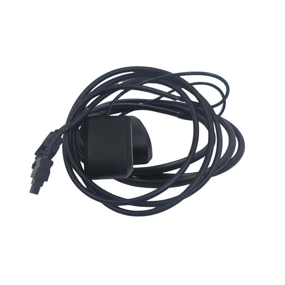
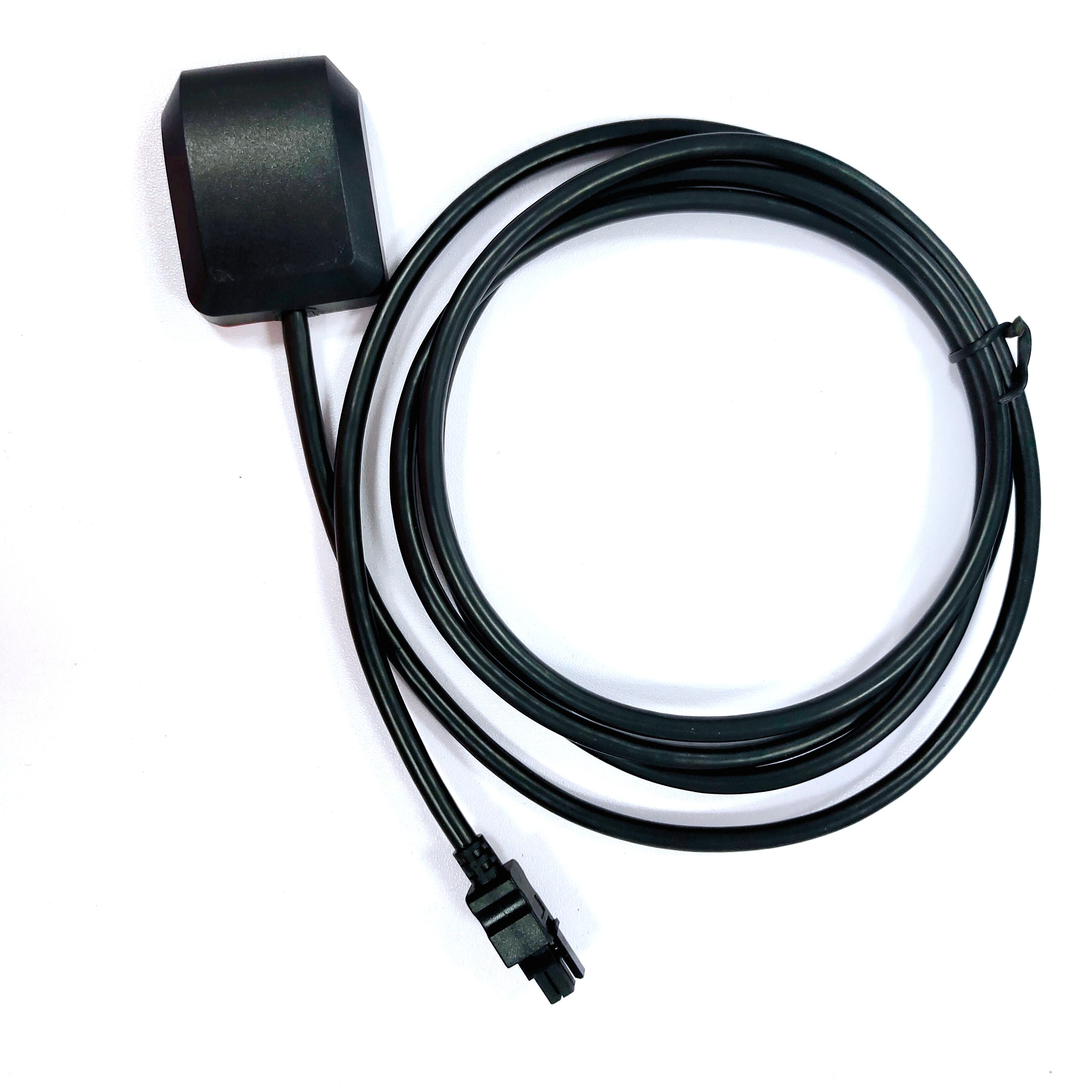
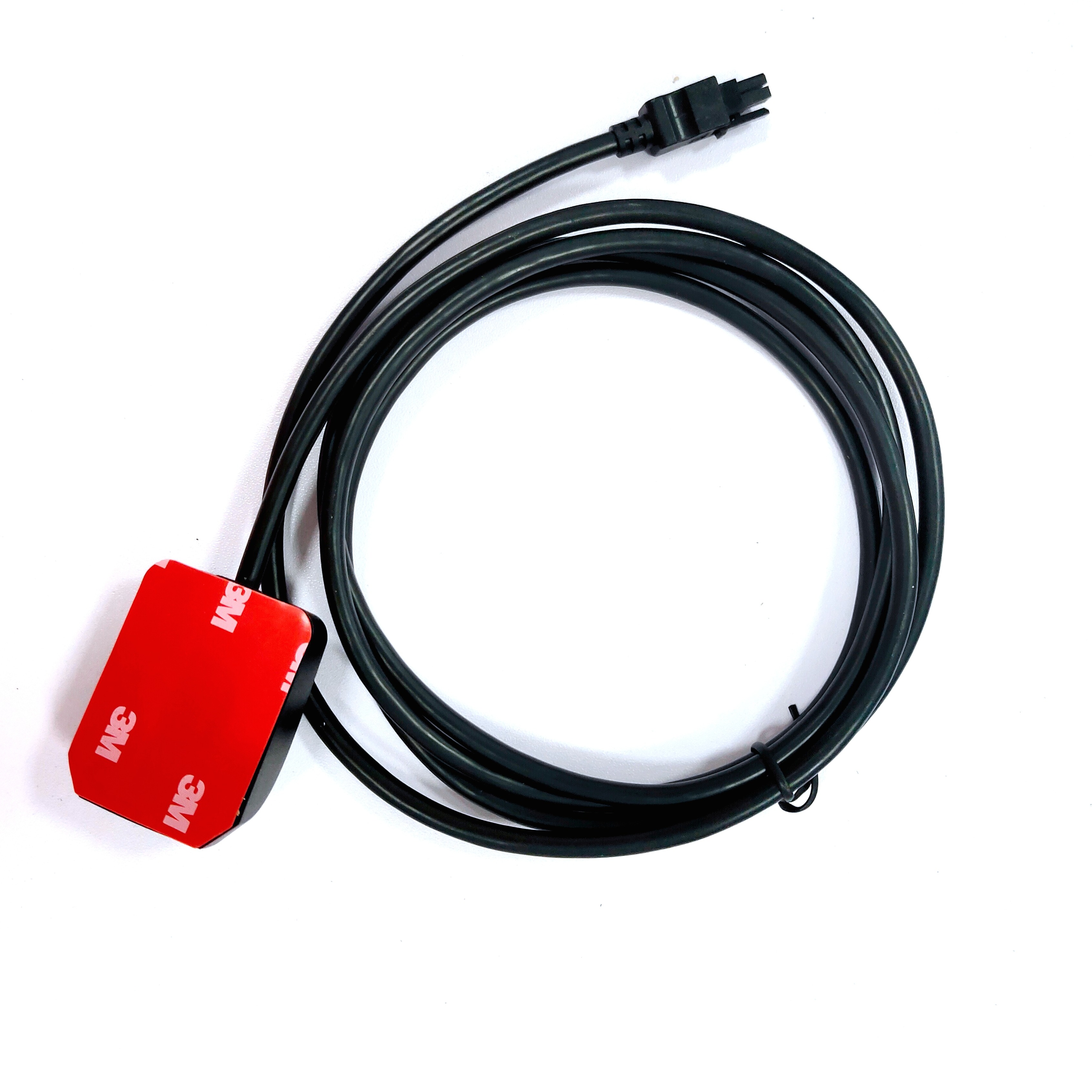
External Antennas
Positioning Chips and Modules


 Language


Language


In the field of high-precision positioning, Global Navigation Satellite System (GNSS) Real-Time Kinematic (RTK) receivers stand as pivotal tools, enabling centimeter-level accuracy in real time. These advanced devices have revolutionized industries ranging from land surveying and construction to precision agriculture and autonomous transportation. Unlike standard GNSS receivers, which typically achieve meter-level accuracy, RTK receivers leverage a combination of satellite signals and ground-based corrections to deliver pinpoint positioning, making them indispensable for applications where precision is non-negotiable. This analysis explores the technical principles underlying GNSS RTK receivers, their key components, performance specifications, and the practical scenarios where their capabilities shine.
At the heart of RTK technology lies the concept of differential positioning, which addresses the primary sources of error in GNSS measurements. Standard GNSS receivers calculate position based on signals from satellites, but these signals are susceptible to a range of errors, including atmospheric interference (ionospheric and tropospheric delays), satellite clock inaccuracies, and orbital perturbations. These errors can accumulate, resulting in position inaccuracies of several meters. RTK mitigates these errors by using two receivers: a base station installed at a known, precisely surveyed location, and a rover receiver that moves to the target location. The base station continuously calculates its position based on satellite signals and compares it to its known coordinates, generating correction data that quantifies the errors affecting the signals. This correction data is then transmitted to the rover receiver in real time, allowing it to adjust its position calculations and achieve centimeter-level accuracy.
The signal processing chain within an RTK receiver is a marvel of engineering, designed to extract and refine weak satellite signals into precise position data. The process begins with the antenna—typically a high-performance GNSS survey antenna like the one described earlier, which captures signals from multiple constellations (GPS, GLONASS, BeiDou, Galileo) across multiple frequency bands. These signals are then passed to a low-noise amplifier (LNA) to boost their strength without introducing significant noise, a critical step given that satellite signals reach the Earth’s surface with power levels as low as -160 dBm. From the LNA, the signals proceed to a radio frequency (RF) front end, which filters out unwanted frequencies and converts the signals from RF to intermediate frequency (IF) for easier processing.
The digital signal processor (DSP) is the workhorse of the RTK receiver, responsible for demodulating the IF signals to extract the navigation data broadcast by the satellites. This data includes information about the satellite’s position, clock offset, and atmospheric correction parameters. The DSP also tracks the phase of the carrier wave of each satellite signal—a key distinction between RTK and standard positioning. While standard receivers rely on the pseudorange (a measure of the distance between the receiver and satellite based on signal travel time), RTK receivers use carrier phase measurements, which are far more precise. The carrier wave has a much shorter wavelength (e.g., 19 cm for GPS L1) than the pseudorange code, allowing for sub-centimeter resolution in distance measurements. However, carrier phase measurements are ambiguous—they provide the distance modulo the wavelength—so resolving these ambiguities is a critical step in RTK processing.
Ambiguity resolution is perhaps the most complex challenge in RTK technology, as it directly determines the receiver’s ability to achieve centimeter-level accuracy. The ambiguity refers to the unknown integer number of wavelengths between the receiver and satellite, which must be resolved to convert the carrier phase measurement into an absolute distance. RTK receivers use a combination of algorithms to resolve these ambiguities, leveraging the base station’s correction data to reduce the uncertainty. One common approach is the Least Squares Ambiguity Decorrelation Adjustment (LAMBDA) algorithm, which transforms the ambiguity parameters into a more manageable form, making it easier to identify the correct integer solutions. Once the ambiguities are resolved, the rover receiver can calculate its position relative to the base station with extraordinary precision. The speed and reliability of ambiguity resolution are key performance metrics for RTK receivers, as delays in resolving ambiguities can hinder real-time applications like machine control in construction.
The communication link between the base station and rover is another critical component of the RTK system, as it must transmit correction data quickly and reliably. Traditional RTK systems use radio modems (operating in the UHF or VHF bands) for short-range communication, with typical ranges of 10–20 kilometers. For longer ranges, cellular networks (4G LTE, 5G) or satellite communication can be used, enabling RTK coverage over large areas. However, cellular and satellite links introduce latency, which can degrade performance if not managed properly. Modern RTK receivers often include multiple communication options, allowing users to switch between links based on availability and latency requirements. The correction data itself is typically formatted using standards like RTCM (Radio Technical Commission for Maritime Services) or NMEA (National Marine Electronics Association), ensuring compatibility between receivers from different manufacturers.
Multi-constellation and multi-frequency support are defining features of modern RTK receivers, significantly enhancing their performance and reliability. By tracking signals from multiple satellite constellations (GPS, GLONASS, BeiDou, Galileo), receivers can access more satellites, reducing the impact of signal blockages and improving positioning availability in challenging environments like urban canyons or dense forests. Multi-frequency support (e.g., L1/L2 for GPS, G1/G2 for GLONASS) allows receivers to mitigate ionospheric delays, which vary with frequency. The ionosphere introduces a delay that is inversely proportional to the square of the signal frequency, so measuring the delay at two frequencies enables the receiver to calculate and correct for this error. This is particularly valuable in regions with high ionospheric activity, such as near the poles, where single-frequency receivers may struggle to maintain accuracy.
The hardware design of an RTK receiver is optimized for both performance and ruggedness, reflecting the demanding environments in which these devices are often used. The receiver’s circuit board includes high-precision oscillators to maintain stable timing, which is critical for accurate phase measurements. Temperature-compensated crystal oscillators (TCXOs) or oven-controlled crystal oscillators (OCXOs) are commonly used, with OCXOs offering superior stability for applications requiring the highest precision. The receiver’s enclosure is typically ruggedized to withstand dust, moisture, and extreme temperatures, with many models meeting IP67 or IP68 standards for water and dust resistance. This ruggedness is essential for field applications like construction, where equipment is exposed to harsh conditions.
Performance specifications of RTK receivers are carefully defined to ensure they meet the needs of professional users. Key metrics include horizontal and vertical accuracy, with top-tier receivers achieving 10 mm + 1 ppm (parts per million) horizontally and 20 mm + 1 ppm vertically. The ppm term accounts for errors that increase with distance from the base station, ensuring accuracy remains consistent even over large areas. Position update rate is another important specification, with most RTK receivers offering updates at 10 Hz or higher, enabling them to track fast-moving objects like vehicles or drones. Time to first fix (TTFF)—the time required to obtain a valid position fix from power-up—is also critical, with modern receivers achieving TTFF of less than 30 seconds under good signal conditions. For rover receivers, reinitialization time—the time to regain RTK accuracy after losing signal (e.g., in a tunnel)—is equally important, with advanced receivers capable of reinitializing in seconds.
In precision agriculture, RTK receivers have transformed farming practices, enabling precise control of machinery like tractors, harvesters, and sprayers. By integrating RTK receivers with machine guidance systems, farmers can plant seeds, apply fertilizers, and harvest crops with centimeter-level accuracy, reducing waste and improving yields. For example, RTK-guided planters can maintain consistent row spacing, ensuring optimal use of field space, while RTK-guided sprayers can apply pesticides only where needed, minimizing environmental impact. In vineyards, RTK receivers enable precise pruning and harvesting, ensuring each vine is treated individually based on its specific needs. The ability to map soil variability in real time using RTK-equipped sensors also allows farmers to implement variable-rate application, tailoring inputs like water and fertilizer to the specific needs of different areas of a field.
Construction and surveying are perhaps the most traditional applications of RTK technology, where it has replaced labor-intensive manual methods with efficient, precise workflows. Surveyors use RTK receivers to quickly stake out boundaries, contours, and construction points, reducing the time required for site preparation. In road construction, RTK-guided graders and pavers can achieve precise slopes and elevations, ensuring compliance with design specifications and reducing the need for rework. For large-scale projects like bridges or dams, RTK receivers are used to monitor structural deformation over time, providing early warning of potential issues. The real-time nature of RTK allows construction teams to make immediate adjustments, improving productivity and reducing costs.
Autonomous vehicles and drones are increasingly relying on RTK receivers to achieve the precision required for safe operation. Autonomous tractors in agriculture, self-driving trucks in mining, and delivery drones all use RTK to navigate with centimeter-level accuracy, avoiding obstacles and following predefined paths. In urban environments, where GPS signals can be degraded by buildings, multi-constellation RTK receivers help maintain positioning accuracy, enabling autonomous vehicles to navigate complex intersections and narrow streets. Drones equipped with RTK receivers are used for aerial surveying, generating detailed 3D maps of construction sites, mines, and agricultural fields. The combination of RTK and inertial measurement units (IMUs) in drones provides robust positioning even during brief signal losses, ensuring data continuity.
Marine and coastal applications also benefit from RTK technology, with receivers used for hydrographic surveying, dredging, and port operations. Hydrographic surveyors use RTK-equipped boats to map the seafloor with high precision, generating charts that support safe navigation and offshore construction. Dredging operations rely on RTK to maintain precise depths, ensuring channels and harbors are kept clear of sediment. In port environments, RTK-guided cranes and container handlers can operate with greater efficiency, reducing the time required to load and unload ships.
Despite their many advantages, RTK receivers face challenges in certain environments. Signal blockage in urban canyons or dense forests can reduce the number of visible satellites, making it difficult to resolve ambiguities and maintain RTK accuracy. To address this, modern receivers often integrate inertial navigation systems (INS), which use accelerometers and gyroscopes to extrapolate position during brief signal losses. INS-RTK fusion ensures that positioning accuracy is maintained even when satellite signals are temporarily unavailable. Another challenge is radio interference, which can disrupt the communication link between the base station and rover. Advanced receivers include interference detection and mitigation features, such as frequency hopping and adaptive filtering, to maintain reliable communication.
The future of RTK technology is marked by several promising developments. Network RTK (NRTK) systems, which use a network of base stations to provide correction data over large regions, are becoming increasingly prevalent. NRTK eliminates the need for users to operate their own base stations, reducing costs and expanding access to RTK accuracy. Precise Point Positioning (PPP), a technique that uses global correction data to achieve centimeter-level accuracy without a local base station, is also gaining traction, particularly in remote areas where base stations are scarce. Advances in chipset technology are enabling smaller, more power-efficient RTK receivers, making them suitable for a wider range of applications, including wearables and small drones.
In conclusion, GNSS RTK receivers represent a pinnacle of positioning technology, enabling centimeter-level accuracy in real time across a diverse range of applications. By leveraging differential positioning, carrier phase measurements, and advanced signal processing, these receivers overcome the limitations of standard GNSS systems, delivering the precision required for modern engineering, agriculture, and transportation. As technology continues to evolve, with improvements in multi-constellation support, ambiguity resolution algorithms, and integration with other sensors, RTK receivers will play an even more critical role in shaping the future of high-precision positioning. Whether guiding a tractor through a field, staking out a construction site, or navigating an autonomous vehicle through a busy city, RTK receivers are essential tools that enable us to interact with our world with unprecedented accuracy.

 86 0755 2819 9597
Lucy Yang | lucy.y@toxutech.com
Nicole Li | nicole@toxutech.com
Dotty Zhao | sales04@toxutech.com
Global Business Director / Sales Team / Global Operations


 En
En Cn
Cn Korean
 Home >


