

-
Products -PCBA Manufacturing RF Connectors RF Cable Assemblys Embedded Antennas External Antennas Positioning Chips and Modules
RF Connectors

RF Cable Assemblys
Embedded Antennas
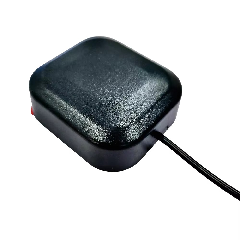
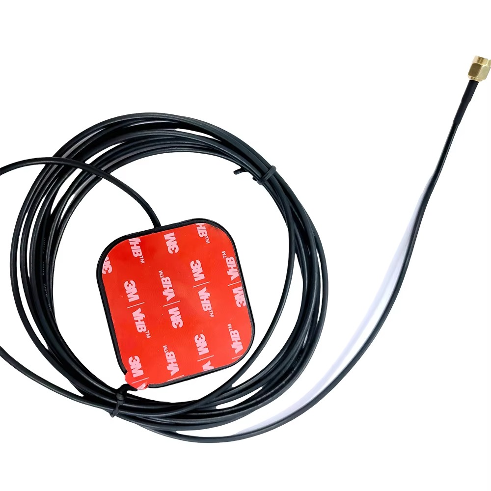
External Antennas
Positioning Chips and Modules


 Language


Language


The evolution of Global Navigation Satellite Systems (GNSS) has been nothing short of revolutionary, transforming industries and enabling applications that were once the realm of science fiction. At the heart of this high-precision revolution lies a critical piece of technology: the Dual Band Real-Time Kinematic (RTK) GPS antenna. This component is far more than a simple receiver; it is the sophisticated gateway that unlocks centimeter-level accuracy from signals transmitted over 20,000 kilometers away in space.
To understand its significance, we must first dissect its name. "Dual Band" refers to the antenna's ability to receive and process signals on two distinct frequency bands from GNSS satellites. The primary systems include the American GPS (L1 C/A 1575.42 MHz & L2C 1227.60 MHz), the Russian GLONASS (G1 & G2), the European Galileo (E1 & E5), and the Chinese BeiDou (B1 & B2). A dual-band antenna is designed to be compatible with these multiple constellations, significantly increasing the number of visible satellites and thus, the robustness and reliability of the positioning solution.
"Real-Time Kinematic" (RTK) is a powerful technique used to enhance the precision of position data derived from satellite-based positioning systems. It involves a base station receiver at a known, fixed location and one or more rover receivers. The base station calculates the error in the satellite signals it receives and broadcasts correction data to the rovers. The rovers, equipped with dual-band antennas, use this data to achieve incredibly precise positions in real-time, typically to within 1-2 centimeters horizontally and 2-3 centimeters vertically.
The antenna itself is the first and most critical point of contact in this chain. Its primary function is to efficiently capture the extremely weak electromagnetic signals from multiple satellite constellations across the chosen frequency bands. The performance of the entire RTK system is heavily dependent on the antenna's ability to do this with high gain, low noise, and strong rejection of unwanted signals (multipath and interference). A poor antenna will introduce errors that even the most advanced RTK processing engine cannot fully correct.
The development of dual-band technology was a direct response to the primary source of error in GNSS: the Ionospheric Delay. The Earth's ionosphere, a layer of the atmosphere filled with ions and free electrons, slows down and bends GNSS signals, distorting the travel time measurement that is fundamental to calculating position. The degree of this delay varies with the frequency of the signal. By measuring the same signal on two different frequencies (L1 and L2, for example), a dual-band receiver can mathematically model and eliminate almost all of the ionospheric error. This is the single greatest advantage over single-band receivers, which must rely on less accurate generalized models to estimate this delay.
The applications for this technology are vast and growing. From guiding autonomous agricultural machinery and construction equipment to conducting precise land surveys and enabling scientific research, the dual-band RTK antenna is the unsung hero of modern precision. It provides the raw, high-quality data that allows complex algorithms to function, turning a stream of satellite signals into a reliable, centimeter-accurate point in space. As we move towards an increasingly automated world, where machines must understand their position with unparalleled accuracy, the role of the dual-band RTK antenna will only become more central and indispensable.
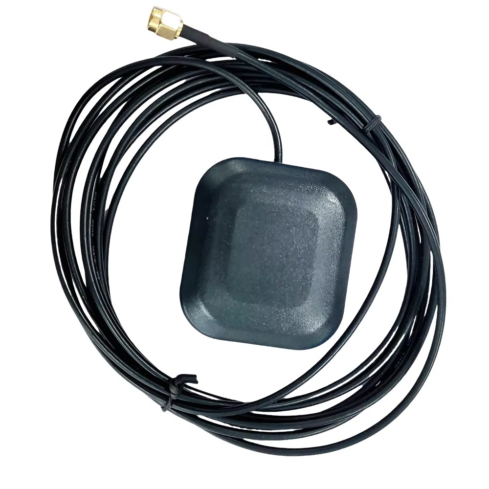
The design and construction of a dual-band RTK GPS antenna are a meticulous exercise in electromagnetic engineering, materials science, and mechanical robustness. Unlike a consumer-grade GPS antenna, which prioritizes miniaturization and cost, an RTK antenna is engineered for one primary goal: to preserve the purity of the incoming satellite signal with absolute fidelity. Every component, from the radiating element to the external housing, is optimized for performance.
The Radiating Element: The Heart of the Antenna
At the core of any antenna is the radiating element. For dual-band RTK applications, a specialized type of patch antenna is almost universally employed. This is typically a stacked-patch or a multi-feed single-patch design. A stacked patch consists of two or more conductive patches separated by a dielectric substrate, each resonating at a different frequency (e.g., one for L1 band, one for L2 band). This design provides excellent isolation between bands and a consistent radiation pattern across both frequencies. The shape, size, and precise alignment of these copper patches are calculated to the millimeter to achieve the desired resonant frequencies and polarization.
Polarization: Circular is Key
GNSS satellites transmit Right-Hand Circularly Polarized (RHCP) signals. This means the electromagnetic wave rotates clockwise as it travels through space. An RTK antenna must therefore be specifically designed to receive RHCP signals efficiently. This is achieved through the physical design of the patch and its feed points. Receiving the correct polarization is crucial for rejecting reflected signals, which often become Left-Hand Circularly Polarized (LHCP) upon bouncing off surfaces, a key mechanism in mitigating multipath error.
The Ground Plane: A Non-Negotiable Foundation
A high-performance RTK antenna is never just the patch alone; it must be mounted on a sufficient ground plane. The ground plane, typically a circular metal plate, serves critical functions:
Directionality: It creates a directional radiation pattern, focusing sensitivity upwards towards the sky (high gain) and rejecting signals arriving from low angles near the horizon, which are more likely to be multipath reflections.
Shielding: It acts as an electromagnetic shield, blocking noise and interference from the equipment below the antenna.
Performance: It is essential for achieving the antenna's specified performance parameters, such as gain and axial ratio. The size of the ground plane is directly related to the lowest frequency it can support effectively; for L2 (1227 MHz), a ground plane of at least 10-12 cm in diameter is considered standard for geodetic-grade antennas.
Low-Noise Amplifier (LNA): Boosting the Weak Whisper
Satellite signals are incredibly weak by the time they travel to Earth's surface, often compared to a distant whisper. The first active component the signal encounters is the Low-Noise Amplifier (LNA), which is almost always integrated directly into the antenna housing. The LNA's job is to amplify the desired signal while adding the absolute minimum amount of self-generated electronic noise, quantified as a Noise Figure (typically <2 dB for good antennas). A high-quality LNA is vital because any noise introduced at this very first stage is amplified by all subsequent components in the receiver chain. The LNA also provides the gain necessary to overcome the signal loss in the coaxial cable that connects the antenna to the RTK receiver.
Filters and Conditioning
Advanced antennas incorporate bandpass filters between the patch and the LNA. These filters are tuned to the specific GNSS frequencies (e1, L2, E5, etc.) and are designed to reject powerful out-of-band interference from sources like cellular networks (4G/5G), radio, and TV broadcasts. This prevents the LNA from being overloaded and ensures the receiver only processes the relevant GNSS signals.
Chassis and Radome: Environmental and EM Protection
The entire assembly is housed in a rugged, weatherproof chassis topped with a radome. The radome is the protective dome that covers the radiating element. Its material is carefully chosen to be electromagnetically "transparent" at the target frequencies, meaning it does not detune the antenna or introduce significant signal loss. Materials like polycarbonate or ceramic are common. The chassis is typically made from metal, which acts as part of the ground plane and provides shielding. The entire unit is sealed to an IP67 or higher rating to protect against dust, moisture, and corrosion, ensuring reliable operation in harsh environmental conditions.
Phase Center and Calibration
Perhaps the most critical concept in RTK antenna design is the Phase Center. This is the electrical point from which the radiation appears to emanate. For RTK to work, the antenna's phase center must be stable and predictable. If it moves with frequency, signal angle, or over time, it introduces errors that the RTK engine cannot distinguish from true position error. High-precision antennas are individually calibrated in an anechoic chamber. This calibration process maps the Phase Center Variation (PCV)—how much the phase center moves relative to a physical reference point (the Antenna Reference Point or ARP). This PCV table is then applied in the post-processing or real-time software to correct the measurements, ensuring the highest possible accuracy.
The operation of a dual-band RTK GPS antenna system is a symphony of physics, electronics, and sophisticated software processing. Its purpose is to resolve the inherent ambiguity in the carrier phase of the GNSS signal, transforming it from a metric with thousands of possible solutions into a definitive, centimeter-accurate measurement.
Step 1: Signal Capture and Initial Amplification
The process begins as the antenna's radiating element captures the faint RHCP radio waves from all visible GNSS satellites. The patch element converts these electromagnetic waves into electrical currents. These minuscule currents, representing the modulated L1 and L2 signals, are first passed through a bandpass filter to remove unwanted RFI (Radio Frequency Interference). They are then immediately amplified by the integrated Low-Noise Amplifier (LNA). This step is crucial to boost the signal above the inherent thermal noise of the subsequent coaxial cable and the receiver itself.
Step 2: Downconversion and Digitization
The amplified RF signal is sent via a coaxial cable to the RTK receiver. The receiver first downconverts the high-frequency RF signal to a lower, intermediate frequency (IF) that is easier to process. This IF signal is then digitized by an Analog-to-Digital Converter (ADC). The digital samples now contain all the information from the L1 and L2 signals from all satellites in view.
Step 3: Correlation and Code/Carrier Phase Extraction
The receiver's processor runs parallel channels for each satellite being tracked. Using a process called correlation, it aligns replicas of the satellite's known Pseudo-Random Noise (PRN) code with the incoming signal to de-spread it and extract the navigation data message. This provides the standard "code-based" positioning, accurate to about 1-5 meters.
Simultaneously, and far more importantly for RTK, the receiver extracts the carrier phase of the signal. The carrier phase is a precise measurement of the phase of the satellite's L1 and L2 carrier waves at the moment of reception. It is an extremely precise measurement (millimeter-level) but it is ambiguous—the receiver can measure the fractional wavelength but does not know the integer number of full wavelengths between the satellite and the antenna. This is the "integer ambiguity."
Step 4: The Role of the Base Station and Dual Bands
A nearby base station, positioned on a known surveyed point, performs the exact same steps—it tracks the satellites, calculates its own position using code, and, most importantly, measures the carrier phase for each satellite. Because it knows its exact location, it can calculate what the true carrier phase measurement should be. The difference between the measured and calculated phase is the error. This error, caused by ionospheric delay, tropospheric delay, satellite clock errors, and orbital errors, is highly correlated over distance.
The base station formats these error corrections (or the raw measurements) and broadcasts them to the rover receiver via a radio link (e.g., UHF, 4G/5G). The rover receiver applies these corrections to its own measurements. This differential process eliminates the vast majority of the common errors, dramatically improving accuracy.
This is where the dual-band capability becomes the game-changer. The ionospheric delay is dispersive, meaning it affects different frequencies differently. The delay is inversely proportional to the square of the frequency. By having precise phase measurements on both L1 and L2, the rover (and base) can form a linear combination of these measurements to create an "ionosphere-free" signal. This mathematically eliminates almost all of the ionospheric error, which is the largest source of error in GNSS. This allows for:
Faster Integer Ambiguity Resolution: The process of resolving the unknown integer number of wavelengths (the "integer ambiguity") becomes more reliable and much faster.
Longer Baselines: Because the ionospheric error is no longer correlated over long distances (10s of km), single-band RTK is limited to short baselines. Dual-band RTK can maintain centimeter accuracy over baselines of 30-50 km or more, as it actively measures and removes the ionospheric effect.
Step 5: Integer Ambiguity Resolution and RTK Fix
The core mathematical challenge of RTK is to resolve the integer ambiguities for each satellite pair. Using the corrected dual-frequency carrier phase measurements from both the rover and base, the processor employs sophisticated search algorithms (e.g., LAMBDA method) to find the set of integers that best fits the data. Once this integer ambiguity is resolved and validated, the rover's position is known with extreme precision relative to the base station. This is known as an "RTK Fix" and is what delivers the coveted centimeter-level accuracy.
The antenna's role in this is passive but fundamental: it must provide a stable, low-noise, multipath-free phase measurement. Any instability in the antenna's phase center or contamination of the signal by multipath directly corrupts the carrier phase observation, making the integer ambiguity resolution slower, less reliable, or even impossible.
Dual-band RTK GPS technology offers unparalleled advantages in positioning, but it is not without its significant challenges and costs. Understanding this balance is key to selecting and implementing the right solution for a given application.
Advantages:
Unmatched Accuracy and Precision: The primary advantage is, of course, centimeter-level real-time accuracy. This is a quantum leap from the meter-level accuracy of standard single-frequency GPS and opens up entirely new classes of applications like machine control and autonomy.
Robust Ionospheric Error Mitigation: As detailed, the ability to measure and eliminate ionospheric delay in real-time is the defining feature. This makes the system far more reliable and consistent, especially during periods of high solar activity that can severely disrupt single-band GNSS.
Faster Convergence and initialization Times: "Time-To-First-Fix" (TTFF) and, more importantly, "Time-To-Fix" after losing signal (re-initialization) are significantly faster with dual-frequency data. The extra observables allow the ambiguity resolution algorithms to converge on the correct integer solution more quickly and with higher confidence.
Longer Operational Baselines: The effective range between a base station and a rover can be extended to 30-50 km or more without a significant degradation in accuracy. This reduces the need to set up multiple base stations for large project sites like agriculture, mining, or large-scale construction.
Improved Reliability and Availability: With access to more signals from multiple constellations (GPS L1/L2, Galileo E1/E5, etc.), the system has more satellites to work with. This means better coverage in obstructed environments like urban canyons or under tree cover and a higher probability of maintaining a fixed RTK solution.
Enhanced Multipath Rejection: While not eliminated, the characteristics of the carrier phase measurements on two frequencies can sometimes help in detecting and mitigating certain types of multipath interference. Furthermore, the physical design of the antenna (choke rings, ground plane) is inherently better at rejecting low-angle multipath.
Challenges:
High Cost: This is the most significant barrier. Dual-band antennas require more complex manufacturing, specialized materials, and individual calibration. The receivers must have multiple RF front-ends and more powerful processors to handle the additional channels and complex computations. A dual-band RTK system can be an order of magnitude more expensive than a single-band system.
System Complexity: Implementing a full RTK system is not just about buying a receiver. It requires a base station, a reliable communication link between base and rover (radio modem or cellular data), and often a subscription to a correction service (NTRIP) if a public base station network is used. This adds layers of complexity for the user.
Power Consumption: Processing signals from multiple constellations on two bands requires more computational power and draws more current from the battery. This can be a critical constraint for battery-operated, mobile, or UAV-based applications.
Communication Link Dependency: The entire RTK process is contingent on a stable, low-latency communication link to deliver correction data from the base to the rover. Any interruption, lag, or corruption in this data stream will cause the rover to drop from a fixed, centimeter-accurate solution to a float (meter-level) or even a standalone solution.
Vulnerability to Jamming and Spoofing: While dual-band can offer some resilience, GNSS signals are inherently weak and vulnerable to intentional jamming (blocking signals) or spoofing (broadcasting fake signals). This is a critical security concern for autonomous and safety-critical systems.
Calibration Requirement: For the highest accuracy (geodetic survey), the precise phase center characteristics of the specific antenna model must be known and applied in the processing software. Using an antenna without its proper calibration table can introduce systematic errors of several centimeters.
The unique capabilities of dual-band RTK GPS antennas have made them indispensable in a wide array of fields that demand high precision, reliability, and efficiency. The technology is also rapidly evolving, driven by new satellite signals and emerging applications.
Applications:
Precision Agriculture: This is one of the largest markets. RTK guides tractors for auto-steering, enabling sub-inch pass-to-pass accuracy. This eliminates overlaps and gaps in planting, spraying, and harvesting, leading to massive savings in seed, fertilizer, fuel, and time. It also enables yield mapping and variable rate application.
Construction and Earthmoving: Grade control systems on bulldozers, excavators, and graders use RTK to guide blades and buckets to the exact design elevation and position. This eliminates the need for traditional survey stakes, reduces rework, and allows projects to be completed faster and with less material.
Surveying and Mapping: The traditional application. Surveyors use RTK for high-accuracy cadastral surveys, topographic mapping, construction layout, and GIS data collection. It has dramatically increased the speed and reduced the crew size needed for most surveying tasks.
Unmanned Aerial Vehicles (UAVs) and Drones: RTK is integrated into drones for photogrammetry and LiDAR mapping. It provides precise geotagging for each captured image and, crucially, allows for precise camera position and orientation, which improves the accuracy of the resulting 2D orthomosaics and 3D models without the need for numerous ground control points.
Autonomous Vehicles and Robotics: While still developing, high-precision positioning is a fundamental requirement for any outdoor autonomous system, from self-driving cars and trucks to port automation and agricultural robots. RTK provides the absolute position needed to localize the vehicle within a high-definition map.
Scientific Research: Used in geophysics for monitoring tectonic plate movements, volcanology for detecting ground deformation, and hydrology for studying land subsidence and sea level rise. The long-term stability and precision are key here.
Marine and Hydrographic Survey: For precision dredging, port construction, and underwater mapping, RTK provides the precise positioning for the vessel and the sonar equipment.
Future Trends:
Multi-Band, Multi-Constellation (MBC): The future is moving beyond dual-band. New systems like Galileo transmit on E6, and modernized GPS is adding L5. "Tri-band" or multi-band antennas and receivers that can leverage all these signals will offer even faster convergence, better robustness, and higher accuracy, further mitigating errors and improving performance in challenging environments.
Tighter Sensor Integration: RTK will not work in tunnels, under dense foliage, or in urban canyons. The future lies in deeply coupling GNSS with other sensors like Inertial Measurement Units (IMUs), LiDAR, cameras, and wheel odometry. The GNSS provides absolute position when available, and the inertial sensors "dead reckon" through short outages, providing continuous, seamless positioning.
Miniaturization and Reduced Power Consumption: As technology advances, dual-band modules are becoming smaller, cheaper, and more power-efficient. This will open up new applications in consumer electronics, wearable technology, and small-form-factor IoT devices.
Advanced Anti-Jamming and Anti-Spoofing (AJAAS): As society becomes more dependent on GNSS, protecting it becomes paramount. Future antennas will incorporate controlled radiation pattern arrays (CRPAs) that can actively nullify jamming signals and detect spoofing attacks, making systems far more secure and resilient.
PPP-RTK: A fusion of Precise Point Positioning (PPP) and RTK concepts. PPP uses precise satellite orbit and clock corrections from a global network to achieve decimeter-to-centimeter accuracy without a local base station. PPP-RTK also transmits ionospheric and other atmospheric models, allowing for much faster convergence and ambiguity resolution. This technology could eventually provide global centimeter-level accuracy without the need for a local base station, revolutionizing the industry.
Cloud Processing and GNSS Networks: The processing is moving from the receiver itself to the cloud. Raw data from a simple receiver can be sent to a cloud server that has access to massive correction networks, performs the complex computations, and sends back a precise position. This could lower the cost and complexity of rover units.
6. Conclusion: The Pivotal Role in a Precise Future
The dual-band RTK GPS antenna is a masterpiece of modern engineering that sits at the critical intersection of hardware and software, physics and computation. It is the unsung enabler that transforms the inherently noisy and error-prone signals from a constellation of distant satellites into a rock-solid, centimeter-accurate truth on the ground.
Its value is not merely in its ability to receive signals, but in its meticulously engineered capacity to do so with unparalleled fidelity, stability, and purity. From the physics of its stacked patch element and the electronics of its low-noise amplifier to the precision of its calibrated phase center, every aspect is optimized for one goal: to deliver a perfect carrier phase measurement. This pristine data is the essential raw material that allows the sophisticated RTK algorithm to perform its magic of resolving integer ambiguities and eliminating atmospheric errors.
While challenges of cost, complexity, and vulnerability remain, the advantages it provides—unmatched accuracy, robustness, and speed—are so transformative that they have created entire industries and redefined best practices in many others. From guiding tractors across vast fields to steering bulldozers on construction sites and enabling the precise navigation of autonomous machines, the dual-band RTK antenna is a foundational technology of the fourth industrial revolution.
Looking forward, its evolution is certain. The trends towards multi-band support, tighter sensor fusion, enhanced security, and cloud-based processing point to a future where high-precision positioning becomes more accessible, more reliable, and more ubiquitous than ever before. It will cease to be a specialized tool and become an invisible utility, seamlessly integrated into the fabric of our automated world. The humble antenna, often overlooked as a simple piece of hardware, will continue to be the critical gateway upon which our increasingly precise and autonomous future is built.

 86 0755 2819 9597
Lucy Yang | lucy.y@toxutech.com
Nicole Li | nicole@toxutech.com
Dotty Zhao | sales04@toxutech.com
Global Business Director / Sales Team / Global Operations


 En
En Cn
Cn Korean
 Home >


