

-
Products -PCBA Manufacturing RF Connectors RF Cable Assemblys Embedded Antennas External Antennas Positioning Chips and Modules
RF Connectors

RF Cable Assemblys
Embedded Antennas
External Antennas
Positioning Chips and Modules


 Language


Language


In the rapidly evolving field of unmanned aerial vehicle (UAV) mapping, the quest for precision and reliability has become the cornerstone of technological advancements. Dual band RTK (Real - Time Kinematic) GPS antennas have emerged as a revolutionary solution, addressing the critical need for highly accurate positioning in UAV - based mapping applications. Traditional single - band GPS antennas often struggle to provide consistent accuracy in challenging environments, where factors such as multipath interference, signal blockage, and ionospheric disturbances can significantly degrade performance. Dual band RTK GPS antennas, on the other hand, leverage the strengths of two distinct frequency bands, typically L1 (1.575 GHz) and L2 (1.227 GHz), in conjunction with the RTK technology, to achieve centimeter - level or even millimeter - level accuracy.
The L1 band is widely used in standard GPS applications due to its relatively strong signal and wide availability. However, it is more susceptible to multipath interference, which occurs when GPS signals reach the antenna via multiple reflected paths, leading to errors in position calculation. The L2 band, with its different propagation characteristics, offers better resistance to multipath effects and ionospheric delays. By simultaneously receiving signals from both bands, dual band RTK GPS antennas can cross - reference the data, identify and mitigate errors more effectively, and provide a more accurate and reliable positioning solution.
When combined with the RTK technology, these antennas reach new heights of precision. RTK operates by utilizing correction data from reference stations, which are strategically placed at known locations. These reference stations continuously monitor the GPS signals and calculate the discrepancies between the actual satellite positions and the positions indicated by the received signals. The correction data, which accounts for errors caused by factors such as atmospheric conditions, satellite clock inaccuracies, and orbital deviations, is then transmitted to the UAV's receiver in real - time. The dual band RTK GPS antenna, with its enhanced signal - receiving capabilities, efficiently captures these signals and correction data, enabling the UAV to perform mapping tasks with extreme precision.
In UAV mapping, where the creation of detailed and accurate maps is essential for applications such as land surveying, urban planning, and environmental monitoring, the use of dual band RTK GPS antennas has transformed the industry. These antennas ensure that UAVs can precisely capture the geographical coordinates of features on the ground, resulting in high - quality maps that are reliable for a wide range of professional and scientific purposes. As the demand for more accurate and detailed mapping data continues to grow, dual band RTK GPS antennas are set to play an increasingly vital role in the advancement of UAV mapping technology.
The design and construction of dual band RTK GPS antennas for UAV mapping are intricate processes that require a deep understanding of electromagnetic theory, material science, and the specific requirements of UAV operations. Every aspect of the antenna, from the antenna element design to the integration of signal processing components, is carefully engineered to ensure optimal performance, durability, and compatibility with UAV systems.
Antenna Element Design
The core of the dual band RTK GPS antenna is the antenna element, which is responsible for capturing the GPS signals from the L1 and L2 bands. Microstrip antenna designs are commonly employed due to their compact size, low profile, and suitability for integration into UAVs. A microstrip antenna typically consists of a metallic patch, usually made of copper or gold, placed on a dielectric substrate with a ground plane beneath.
For dual - band operation, the design of the metallic patch becomes highly complex. Engineers use advanced electromagnetic simulation software to optimize the shape, size, and configuration of the patch to resonate at both the L1 and L2 frequencies simultaneously. This often involves the use of intricate geometries, such as fractal patterns or multi - layer structures, to achieve the desired impedance matching and radiation patterns for both bands. By carefully adjusting the dimensions and layout of the patch, the antenna can efficiently capture signals from both frequencies while minimizing interference between the two bands.
The choice of dielectric substrate is also a critical factor. Substrates with stable electrical properties over a wide range of temperatures, humidity levels, and frequencies are preferred. Ceramic - based substrates are popular due to their high dielectric constant, which enables miniaturization, and their excellent thermal and mechanical stability. However, other materials like Rogers RT/duroid series may be selected based on specific performance requirements, cost considerations, and the need for flexibility in design. These substrates play a crucial role in determining the antenna's resonant frequencies, impedance, and radiation characteristics for both the L1 and L2 bands.
Signal Processing Component Integration
To fully utilize the signals received from the L1 and L2 bands, dual band RTK GPS antennas integrate a series of signal processing components. A key component is the low - noise amplifier (LNA), which is designed to boost the weak GPS signals from both bands while minimizing the addition of noise. The LNA for each band is carefully selected for its high gain, low noise figure, and wide bandwidth to ensure effective amplification of the signals without introducing significant distortion.
Filters are also an essential part of the signal processing chain. Band - pass filters are used to isolate the frequencies within the L1 and L2 bands, rejecting unwanted frequencies and interference from other radio - frequency sources. These filters are designed to have a sharp cutoff, allowing only the relevant GPS signals to pass through while effectively suppressing out - of - band interference. Additionally, notch filters may be incorporated to specifically target and suppress certain frequencies that are known to cause interference, further improving the signal quality for both bands.
In addition to amplification and filtering, the antenna may also include components for signal separation and combination. Since the L1 and L2 signals have different characteristics and are processed separately to some extent, these components ensure that the signals can be effectively separated for individual processing and then combined for transmission to the UAV's RTK receiver. This integration of signal processing components is carefully optimized to ensure that the antenna can handle the complex signals from both bands and provide clean, reliable data to the receiver.
Enclosure and Mounting Design
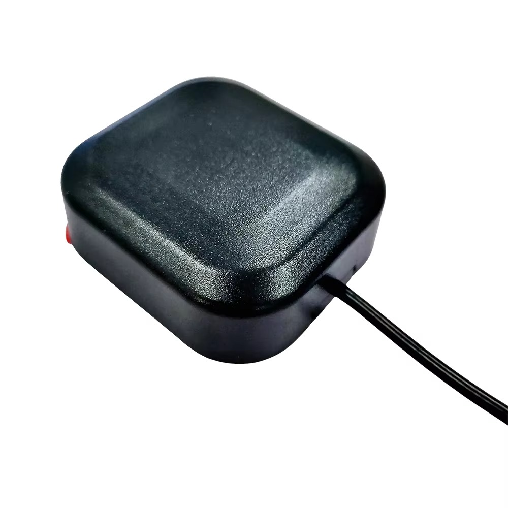
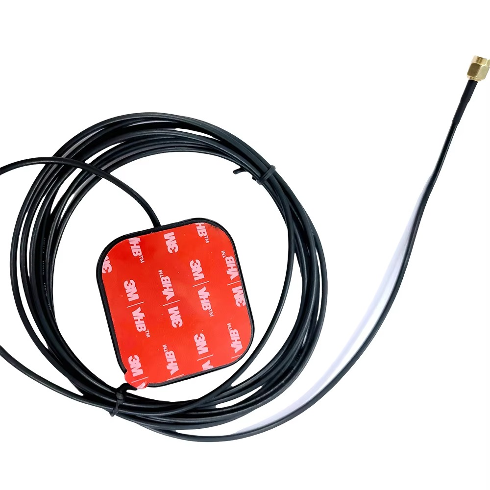
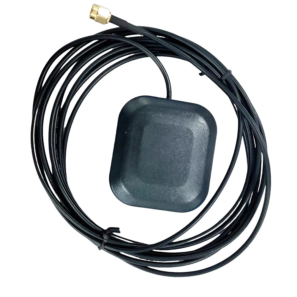
The enclosure of a dual band RTK GPS antenna for UAV mapping serves to protect the internal components from the harsh operating conditions of UAVs. UAVs are often exposed to vibrations, extreme temperatures, moisture, and dust during flight, and the antenna's enclosure must be able to withstand these elements. High - strength engineering plastics or lightweight metal alloys are commonly used for the enclosure material. Engineering plastics offer good impact resistance, UV resistance, and chemical resistance, while metal alloys provide excellent electromagnetic shielding and mechanical strength.
The mounting design of the antenna is also crucial to ensure stable operation during UAV flight. Antennas are typically mounted on the UAV's frame using brackets or mounts that are designed to withstand vibrations and aerodynamic forces. The mounting position is carefully selected to optimize signal reception, taking into account factors such as the UAV's shape, the location of other components, and potential signal obstructions. In some cases, the antenna may be integrated into the UAV's fuselage or wing structure to reduce drag and improve aerodynamics, while still ensuring optimal signal performance.
The working principles of dual band RTK GPS antennas for UAV mapping involve a series of coordinated processes that enable the antenna to capture, process, and transmit GPS signals accurately, ultimately providing the UAV with precise positioning information for mapping tasks.
Signal Reception
The operation of the antenna begins with the antenna element capturing the weak radio - frequency signals transmitted by GPS satellites on the L1 and L2 bands. These signals, which carry information about the satellite's position and time, travel through the Earth's atmosphere before reaching the antenna. The dual - band design of the antenna element allows it to efficiently couple with the incoming signals from both frequencies simultaneously.
When the frequencies of the incoming GPS signals match the resonant frequencies of the corresponding metallic patches in the antenna element, a resonance effect occurs. This resonance enhances the antenna's ability to absorb the energy of the signals, generating electrical currents that represent the received GPS signals from the L1 and L2 bands. However, in real - world scenarios, these initial signals are often subject to various impairments. In urban areas, tall buildings can cause signal blockage and multipath interference, where signals reach the antenna via multiple reflected paths. In addition, ionospheric delays, tropospheric delays, and satellite clock inaccuracies can also distort the signals, affecting the accuracy of the positioning calculations.
Signal Processing
The weak electrical signals received by the antenna element from the L1 and L2 bands are then processed by the integrated signal processing components within the antenna. First, the signals pass through their respective low - noise amplifiers (LNAs). The LNAs boost the weak signal strength of each band to a level suitable for further processing while keeping the added noise to a minimum. This amplification is crucial because the signals received from the satellites are extremely weak, and any additional noise could significantly degrade the accuracy of the positioning calculations performed by the UAV's RTK receiver.
After amplification, the signals pass through filters. Band - pass filters are used to isolate the frequencies within the L1 and L2 bands, rejecting unwanted frequencies and interference from other in - vehicle electrical components, such as the engine control unit or the entertainment system. Notch filters, if present, target and suppress specific frequencies that are known to cause interference, further improving the quality of the received signals for both bands. The processed signals from the L1 and L2 bands are then separated, processed individually to some extent, and then combined for transmission to the UAV's RTK receiver.
RTK Position Calculation and Mapping
Once the RTK receiver on the UAV receives the processed signals from the dual band GPS antenna, it initiates the process of position calculation. The receiver also acquires correction data from reference stations. The correction data contains information about the errors in the satellite signals, such as ionospheric delays, tropospheric delays, and satellite clock inaccuracies. The receiver uses this correction data to adjust the raw GPS measurements from the L1 and L2 bands.
Using the principle of trilateration or multilateration, the receiver calculates the distance between the UAV and each satellite based on the time it takes for the signals to travel from the satellite to the UAV. By knowing the positions of the satellites and the distances to them, and applying the corrections, the receiver can determine the precise location of the UAV on Earth's surface, along with other information such as altitude, speed, and heading. This accurate positioning information is then used by the UAV's mapping system to precisely capture the geographical coordinates of features on the ground, enabling the creation of detailed and accurate maps.
Advantages
One of the most significant advantages of dual band RTK GPS antennas for UAV mapping is their exceptional positioning accuracy. The combination of dual - band signal reception and RTK correction data allows these antennas to achieve centimeter - level or even millimeter - level accuracy, which is essential for creating highly detailed and reliable maps. In land surveying, for example, this level of accuracy enables surveyors to precisely measure distances, heights, and volumes, resulting in more accurate topographic maps and cadastral surveys.
The dual - band operation of these antennas provides enhanced reliability. By receiving signals from two different frequency bands, the antenna can mitigate the effects of multipath interference and ionospheric delays more effectively. If one band is affected by interference or signal blockage, the other band can still provide reliable positioning data. This redundancy ensures that the UAV can maintain accurate positioning even in challenging environments, reducing the risk of mapping errors and improving the overall quality of the mapping results.
Dual band RTK GPS antennas also offer better compatibility with different GPS satellite constellations. As more constellations become operational, such as GLONASS, Galileo, and BeiDou, these antennas can leverage signals from multiple constellations on both the L1 and L2 bands. This expands the available satellite signals, further enhancing the accuracy and reliability of the positioning system and enabling more comprehensive and accurate mapping in a wider range of geographical areas.
Challenges
Despite their numerous advantages, dual band RTK GPS antennas for UAV mapping face several challenges. One of the primary challenges is the cost. The design and construction of these antennas, which involve advanced electromagnetic engineering, high - quality materials, and sophisticated signal processing components, result in a relatively high production cost. The use of specialized components for dual - band operation, such as dual - band LNAs and complex filtering circuits, adds to the cost. This cost can be a barrier for some UAV mapping projects, especially those with limited budgets.
Another challenge is related to the complexity of the system. The integration of dual - band antennas with RTK receivers requires careful calibration and configuration. The UAV's flight control system and mapping software also need to be compatible with the dual - band RTK setup. Any misconfiguration or incompatibility can lead to errors in positioning and mapping, requiring significant technical expertise to troubleshoot and resolve. This complexity can be a deterrent for some users, particularly those who are new to UAV mapping or have limited technical resources.
Power consumption is also a concern for UAVs. Dual band RTK GPS antennas, along with the associated signal processing components, consume more power compared to single - band antennas. UAVs typically have limited battery capacity, and the increased power consumption can reduce the flight time of the UAV. This may require more frequent battery changes or limit the area that can be mapped in a single flight, affecting the efficiency and productivity of UAV mapping operations.
Applications
Dual band RTK GPS antennas are widely used in a variety of UAV mapping applications. In land surveying, they enable UAVs to quickly and accurately map large areas of land, reducing the time and cost associated with traditional surveying methods. Surveyors can use UAV - based mapping with these antennas to create detailed topographic maps, measure land boundaries, and monitor construction sites. The high - precision positioning provided by the antennas ensures that the survey data is reliable, which is essential for land development, urban planning, and infrastructure projects.
In environmental monitoring, UAVs equipped with dual band RTK GPS antennas can be used to map and monitor changes in natural environments. They can be used to survey forests, measure the extent of deforestation, monitor water bodies, and track the movement of wildlife. The accurate positioning data allows for precise location - tagging of environmental data, enabling researchers to better understand and analyze environmental trends and changes over time.
In the construction industry, these antennas are used for site planning, progress monitoring, and quality control. UAVs can be used to create 3D models of construction sites, track the progress of construction projects, and identify potential issues or errors early on. The high - accuracy mapping provided by dual band RTK GPS antennas helps construction companies make more informed decisions, improve project efficiency, and ensure the quality of construction work.
Future Trends
Looking ahead, several future trends are expected to shape the development of dual band RTK GPS antennas for UAV mapping. One trend is the further miniaturization of these antennas. As technology advances, new materials and manufacturing techniques, such as nanotechnology and 3D printing, will be explored to reduce the size and weight of the antennas without sacrificing performance. This miniaturization will enable the integration of these antennas into smaller and more lightweight UAVs, expanding the range of applications and improving the flight performance of the UAVs.
The integration of artificial intelligence (AI) and machine learning (ML) algorithms with dual band RTK GPS antennas is an emerging trend. AI and ML can be used to optimize the performance of the antennas in real - time. These algorithms can analyze the received signals, detect changes in the signal environment, and adjust the antenna's operation parameters, such as gain, filtering, and interference mitigation, to adapt to different conditions. For example, AI can be used to predict and mitigate the effects of ionospheric disturbances or multipath interference by analyzing historical data and current signal patterns.
Advancements in communication technologies, such as 5G and the Internet of Things (IoT), will also impact the design and use of dual band RTK GPS antennas. The development of 5G and other high - speed, low - latency communication networks will enable faster and more reliable transmission of RTK correction data. This will improve the overall performance of the positioning system, allowing for even more accurate positioning. Dual band RTK GPS antennas will need to be designed to take full advantage of these new communication technologies, enabling seamless integration with the UAV's communication systems and ground control stations.
There is also a growing trend towards the development of multi - functional antennas. Future dual band RTK GPS antennas may integrate additional functions, such as wireless communication capabilities, sensor integration, or energy harvesting. For instance, an antenna could be designed to not only receive GPS signals but also act as a Wi - Fi or 5G antenna for data transmission, reducing the number of antennas required on the UAV and saving space. Sensor integration could enable the antenna to gather environmental data, such as temperature, humidity, or air pressure, which can be useful for mapping applications.
Conclusion
Dual band RTK GPS antennas have become indispensable for UAV mapping, offering unparalleled accuracy and reliability in creating detailed and precise maps. Their ability to leverage signals from two frequency bands and utilize RTK correction data has transformed the UAV mapping industry, enabling a wide range of applications in land surveying, environmental monitoring, construction, and more.
However, challenges such as cost, system complexity, and power consumption need to be addressed to further promote their widespread adoption. As technology continues to evolve, future trends such as miniaturization, the integration of AI and ML, advancements in communication technologies, and the development of multi - functional antennas offer great potential for enhancing the performance and capabilities of dual band RTK GPS antennas. By overcoming these challenges and embracing these trends, these antennas will continue to play a crucial role in the advancement of UAV mapping technology, driving innovation and efficiency in industries that rely on accurate geospatial data.

 86 0755 2819 9597
Lucy Yang | lucy.y@toxutech.com
Nicole Li | nicole@toxutech.com
Dotty Zhao | sales04@toxutech.com
Global Business Director / Sales Team / Global Operations


 En
En Cn
Cn Korean
 Home >


