

-
Products -PCBA Manufacturing RF Connectors RF Cable Assemblys Embedded Antennas External Antennas GNSS Positioning Solutions
RF Connectors

RF Cable Assemblys
Embedded Antennas
External Antennas
GNSS Positioning Solutions





 Language


Language


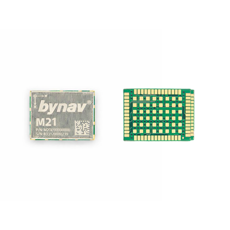
Model: TX-M21
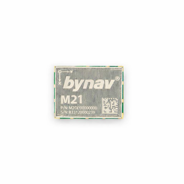
The TOXU TX-M21 is a single-antenna GNSS RTK INS module based on the Bynav M21 platform. It integrates a full-constellation GNSS receiver, MEMS inertial measurement unit and deeply coupled navigation algorithm for autonomous driving, UAVs, precision agriculture and intelligent robotics.
● Bynav M21 Platform: Uses the 22 nm Bynav Alice GNSS SoC with 1,507 channels and full-constellation, multi-frequency signal tracking.
● Integrated MEMS IMU: Includes a gyroscope and accelerometer with full-temperature calibration for GNSS/INS integrated navigation.
● Deeply Coupled Navigation: Combines GNSS and inertial measurements to maintain position and velocity output during temporary satellite-signal obstruction.
● Centimeter-Level RTK: Provides horizontal accuracy of 1.0 cm + 1 ppm and vertical accuracy of 1.5 cm + 1 ppm under suitable RTK conditions.
● 100 Hz INS Output: Supports 100 Hz INS positioning output and 100 Hz raw IMU data.
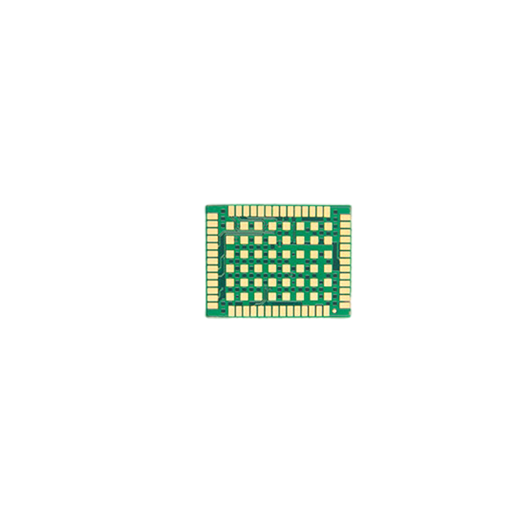
● Compact OEM Integration: Features a 17 × 22 × 2.75 mm 54-pin LGA package with UART, CAN FD, RMII, PPS and optional SPI interfaces.
The TOXU TX-M21 is a single-antenna high-precision GNSS RTK INS module based on the Bynav M21 positioning platform. It combines a full-constellation GNSS receiver, a calibrated MEMS inertial measurement unit and a deeply coupled GNSS/INS navigation algorithm in a compact 54-pin LGA package.
The module uses the 22 nm Bynav Alice automotive-oriented GNSS SoC and provides 1,507 channels for tracking signals from GPS, BDS, GLONASS, Galileo, QZSS and NavIC.
The integrated IMU contains a gyroscope and accelerometer. By combining GNSS observations with inertial measurements, the M21 can continue outputting position and velocity information when satellite signals are temporarily obstructed.
Its deeply coupled navigation algorithm uses inertial information to assist GNSS signal processing. According to the supplied specification, positioning performance in urban-canyon environments can be improved by approximately two to five times compared with a loosely coupled solution.
The module supports a default GNSS positioning rate of 5 Hz, while applicable firmware can provide up to 10 Hz GNSS positioning. INS positioning and raw IMU data are available at 100 Hz. A 50 Hz GNSS update rate is not specified and is therefore not claimed for this product.
The TX-M21 is intended for integration into customized receiver boards and navigation controllers. It requires a regulated power supply, GNSS antenna circuit, host processor interface and application-specific PCB design.
Bynav Alice GNSS SoC
Uses the Bynav Alice GNSS SoC manufactured with a 22 nm process for high-precision, multi-frequency positioning.
1,507 GNSS Channels
Provides 1,507 channels for simultaneous tracking of supported full-constellation and multi-frequency GNSS signals.
Full-Constellation GNSS Support
Supports GPS, BDS, GLONASS, Galileo, QZSS and NavIC signals for improved positioning availability.
Integrated MEMS Inertial Measurement Unit
Integrates a three-axis gyroscope and three-axis accelerometer with full-temperature calibration for GNSS/INS integrated navigation.
Deeply Coupled GNSS/INS Navigation
Uses GNSS and inertial measurements together to improve positioning continuity and signal-observation quality in challenging environments.
Dead-Reckoning Capability
Supports inertial dead reckoning to maintain continuous position and velocity output during short periods of GNSS obstruction.
Centimeter-Level RTK Positioning
Provides horizontal RTK accuracy of 1.0 cm + 1 ppm and vertical RTK accuracy of 1.5 cm + 1 ppm under suitable operating conditions.
Fast RTK Initialization
Supports a typical RTK initialization time of 5 seconds when suitable correction data and satellite conditions are available.
100 Hz INS Positioning
Outputs integrated GNSS/INS positioning results at rates up to 100 Hz for dynamic navigation applications.
100 Hz Raw IMU Data
Provides raw gyroscope and accelerometer measurements at a rate of 100 Hz.
High-Performance Interference Suppression
The applicable anti-interference function supports single-frequency, multi-tone, narrowband, sweep-frequency and pulse interference suppression with an interference-to-signal ratio of up to 65 dBc.
Multiple Embedded Interfaces
Provides four UART interfaces, two CAN FD interfaces, one antenna-detection interface, one PPS output, one RMII interface and an optional SPI interface.
Compact LGA Package
The 17 × 22 × 2.75 mm module weighs approximately 2.05 g and is suitable for compact embedded navigation systems.
| Attribute | Value |
| TOXU Model | TX-M21 |
| Product Type | Single-Antenna GNSS RTK INS OEM Module |
| GNSS Platform | Bynav M21 |
| GNSS SoC | Bynav Alice, 22 nm process |
| Package | 54-pin LGA |
| Number of Channels | 1,507 |
| Antenna Configuration | Single GNSS antenna |
| Integrated Inertial Sensors | Three-axis gyroscope and three-axis accelerometer |
| Navigation Method | GNSS/IMU deeply coupled integrated navigation |
| L-Band | 3 channels, 1525–1559 MHz; optional function |
| BDS-2 Signals | B1I, B2I and B3I |
| BDS-3 Signals | B1I, B2a and B3I |
| Optional BDS-3 Signals | B1C and B2b PPP with applicable firmware |
| GPS Signals | L1 C/A, L2 and L5 |
| Optional GPS Signal | L1C with applicable firmware |
| GLONASS Signals | G1 and G2 |
| Galileo Signals | E1, E5a and E5b |
| Optional Galileo Signal | E6 HAS with applicable firmware |
| QZSS Signals | L1 C/A, L1C, L2 and L5 |
| Optional QZSS Signal | L6 CLAS with applicable firmware |
| NavIC Signal | L5 |
| Optional SBAS Signal | L1 C/A with applicable firmware |
| Single-Point Horizontal Accuracy | 1.5 m RMS |
| Single-Point Vertical Accuracy | 2.5 m RMS |
| RTK Horizontal Accuracy | 1.0 cm + 1 ppm RMS |
| RTK Vertical Accuracy | 1.5 cm + 1 ppm RMS |
| Velocity Accuracy | 0.03 m/s RMS |
| Timing Accuracy | ≤20 ns RMS, optional timing function |
| Cold Start Time | 30 seconds |
| Hot Start Time | 5 seconds |
| RTK Initialization Time | 5 seconds typical |
| Loss-of-Lock Re-Acquisition Time | ≤1 second |
| RTK Solution Latency | 50 ms |
| Default GNSS Observation Rate | 10 Hz |
| Default GNSS Positioning Rate | 5 Hz |
| Optional GNSS Positioning Rate | Up to 10 Hz with applicable firmware |
| INS Positioning Rate | 100 Hz |
| Raw IMU Data Rate | 100 Hz |
| Dead-Reckoning Accuracy | 0.8% 2σ when connected to an odometer and using the vehicle model |
| Gyroscope Range | ±300°/s |
| Gyroscope Angle Random Walk | 0.5°/√h |
| Gyroscope Bias Instability | 5°/h |
| Gyroscope Full-Temperature Bias | 0.3°/s |
| Gyroscope Scale-Factor Error | 4‰ |
| Gyroscope Cross-Axis Coupling Error | 1.7‰, equivalent to 0.1° |
| Accelerometer Range | ±16 g |
| Accelerometer Velocity Random Walk | 0.3 m/s/√h |
| Accelerometer Bias Instability | 50 μg |
| Accelerometer Full-Temperature Bias | 5 mg |
| Accelerometer Scale-Factor Error | 2‰ |
| Accelerometer Cross-Axis Coupling Error | 0.9‰, equivalent to 0.05° |
| Anti-Interference Types | Single-frequency, multi-tone, narrowband, sweep-frequency and pulse interference |
| Interference-to-Signal Ratio | Up to 65 dBc with applicable anti-interference function |
| UART | 4 interfaces |
| CAN FD | 2 interfaces |
| SPI | 1 optional interface |
| RMII | 1 interface |
| PPS | 1 output |
| Antenna Detection | 1 interface |
| Power Supply | 3.15–3.45 V DC |
| Power Consumption | 500 mW typical, excluding antenna power and external devices |
| Operating Temperature | −40°C to +85°C |
| Optional Operating Temperature | Up to +105°C for the applicable version |
| Storage Temperature | −40°C to +105°C |
| Humidity | 95% non-condensing |
| Vibration | JESD22-B103 |
| Shock | JESD22-B110 |
| Module Dimensions | 17 × 22 × 2.75 mm |
| Weight | 2.05 g |
| Optional Functional Safety | ASIL B for the applicable product configuration |
| Optional Certifications | ISO 26262 ASIL B and AEC-Q104 for the applicable certified version |
• Autonomous driving systems
• Intelligent vehicle navigation
• UAV positioning and navigation
• Precision agriculture machinery
• Intelligent robots
• GNSS-denied and partially obstructed environments
• Vehicle dead-reckoning systems
• Customized RTK INS receiver boards
• Industrial autonomous equipment
The TX-M21 is a 54-pin LGA OEM module intended for surface mounting on a customized host PCB. It requires an external GNSS antenna, regulated power supply, host processor interface and application-specific protection circuitry.
The module uses a single GNSS antenna. Its integrated-navigation capability is provided by the internal gyroscope, accelerometer and deeply coupled navigation algorithm rather than a dual-antenna heading system.
For accurate inertial navigation, the module must be mounted rigidly to the vehicle or equipment. Its axis orientation relative to the vehicle coordinate system must be defined correctly in the navigation configuration.
Dead-reckoning performance depends on correct installation, full-temperature sensor calibration, vehicle dynamics and applicable aiding information. The specified 0.8% 2σ dead-reckoning accuracy applies when an odometer is connected and the vehicle model is used.
The module provides four UART interfaces, two CAN FD interfaces, one RMII interface, one PPS output, one antenna-detection interface and an optional SPI interface for embedded integration.
Centimeter-level RTK positioning requires compatible correction data from a GNSS base station, CORS network or NTRIP service. Actual performance depends on satellite geometry, antenna quality, correction-data quality, multipath, interference and installation conditions.
L-Band, B2b PPP, Galileo HAS, QZSS CLAS, SBAS, enhanced anti-interference functions, SPI, functional safety and automotive certifications are identified as extended capabilities. The required firmware and product version must be confirmed before ordering.
The standard GNSS positioning rate is 5 Hz, and the applicable firmware supports up to 10 Hz. The 100 Hz specification applies to INS positioning and raw IMU data rather than the standalone GNSS positioning output.
GNSS Antenna Matching
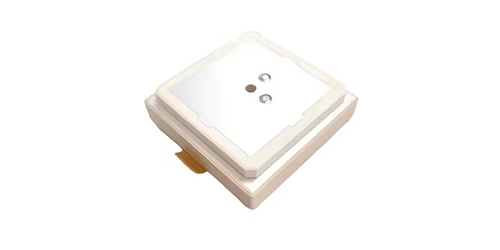
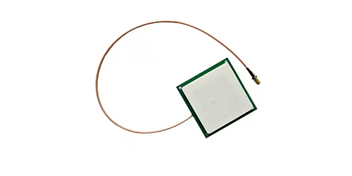
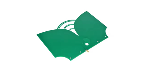
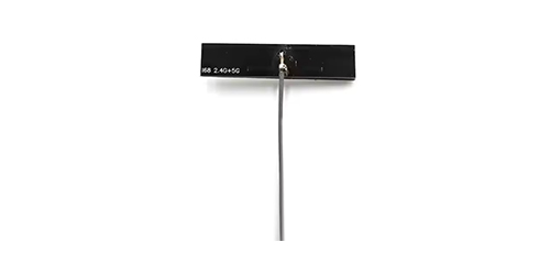
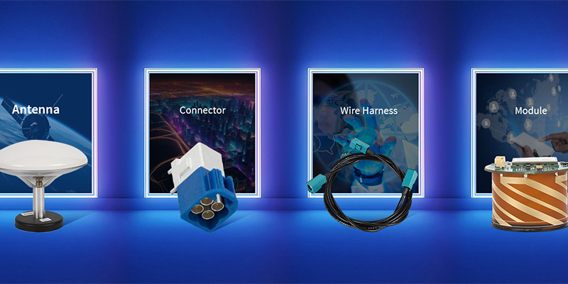
TOXU provides matched GNSS antennas including ceramic antennas, patch antennas and multi-frequency RTK antennas for different positioning requirements.
RF Cable Assembly
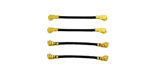
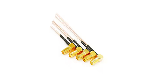
TOXU provides customized RF cable assemblies with SMA, MMCX, MCX, TNC, FAKRA and other connector options.
Connector Solution
TOXU supports RF connector selection and customized interconnection solutions.
GNSS/INS Board Development
TOXU can integrate the Bynav M21 into customized GNSS/INS receiver boards with the required power supply, antenna circuit and communication interfaces.
Inertial Sensor Integration
TOXU supports module orientation planning, mechanical installation, odometer connection and host-system integration for GNSS/INS navigation products.
Hardware Customization
TOXU supports PCB design, prototype development, firmware integration and mass production for customized GNSS positioning products.
Professional Bynav M21 Integration
TOXU provides hardware integration support for the Bynav M21 GNSS RTK INS platform in automotive, UAV and robotic applications.
Complete OEM Development Support
TOXU supports schematic design, PCB layout, power-supply design, antenna matching, mechanical orientation and communication-interface integration.
Application-Specific Configuration
TOXU can assist with selecting the required firmware, interfaces, update rates, enhanced GNSS services and functional-safety version.
Prototype and Mass Production
TOXU supports engineering evaluation, prototype receiver boards, customized assembly and volume manufacturing.
Q: Is the TX-M21 a GNSS RTK INS module?
Yes. It integrates a multi-frequency GNSS receiver, three-axis gyroscope, three-axis accelerometer and deeply coupled GNSS/INS navigation algorithm.
Q: Is the TX-M21 a single-antenna module?
Yes. It uses one external GNSS antenna. Inertial navigation is provided by the integrated MEMS IMU rather than a second GNSS antenna.
Q: Does the TX-M21 support a 50 Hz GNSS update rate?
A 50 Hz GNSS update rate is not specified in the supplied datasheet. The standard GNSS positioning rate is 5 Hz, and applicable firmware supports up to 10 Hz.
Q: What does the 100 Hz update rate refer to?
The 100 Hz rate applies to the integrated GNSS/INS positioning output and raw IMU measurements.
Q: Can the M21 continue operating without GNSS signals?
The integrated IMU supports dead reckoning and can maintain position and velocity output during short GNSS outages. Accuracy decreases as the outage duration increases and depends on installation and aiding conditions.
Q: Does the M21 provide centimeter-level RTK positioning?
Yes. With compatible correction data and suitable conditions, it supports horizontal RTK accuracy of 1.0 cm + 1 ppm and vertical accuracy of 1.5 cm + 1 ppm.
Q: Does every M21 support L-Band and satellite PPP services?
No. L-Band, B2b PPP, Galileo HAS and QZSS CLAS are extended functions requiring the applicable firmware and product configuration.
Q: Does every TX-M21 include ASIL B and AEC-Q104 certification?
No. Functional-safety and automotive certifications apply only to the corresponding certified product version and must be confirmed when ordering.
Q: Can TOXU integrate the M21 into a customized board?
Yes. TOXU can design customized M21 receiver boards including the power supply, GNSS antenna circuit, UART, CAN FD, RMII, PPS and external connector interfaces.
Q: Can TOXU provide customized GNSS solutions?
Yes. TOXU provides complete GNSS hardware integration services including customized receiver boards, GNSS antennas, RF cable assemblies, connectors and PCB hardware development.
Q: Can TOXU provide antenna and cable solutions?
Yes. TOXU provides matched multi-frequency GNSS antennas, RF cables and connectors to complete the positioning system solution.
Q: Does TOXU support prototype and mass production?
Yes. TOXU supports schematic design, PCB development, prototype assembly, engineering validation and mass production for customized Bynav M21 GNSS/INS products.
Lucy Yang | lucy.y@toxutech.com
Dotty Zhao | sales04@toxutech.com
Global Business Director / Sales Team / Global Operations


 En
En Cn
Cn Korean
 Home >

